Context
Elliot invited me to go climbing at Paynes Ford while he is in the process of moving to Christchurch and taking a first aid course along the way. This worked out well with my schedule. What’s more, there were extremely cheap flights WLG-NSN (NZ$113 rt!) if I picked my days right. I got the 1:50pm departure out of Wellington on Thursday and the 2pm return on Monday from Nelson.
This represented an excellent opportunity to add to the walked-to-airports list! I’d meant to walk to NSN last July, but we actually only flew into that airport after the Heaphy; our flight to the start of the track was replaced by a van ride. I’d already walked from WLG last February.
My larger backpack weighed 8.9kg; I didn’t weigh my small backpack. A bit on the heavy side but manageable. Maybe I brought more stuff than I needed because I felt that not having a rope meant I could bring stuff. 8km into my walk I definitely felt like I could have gone lighter. I also decided that, since Dash-8s are pretty small and the flight was full, I’d pay $20 to check a bag.
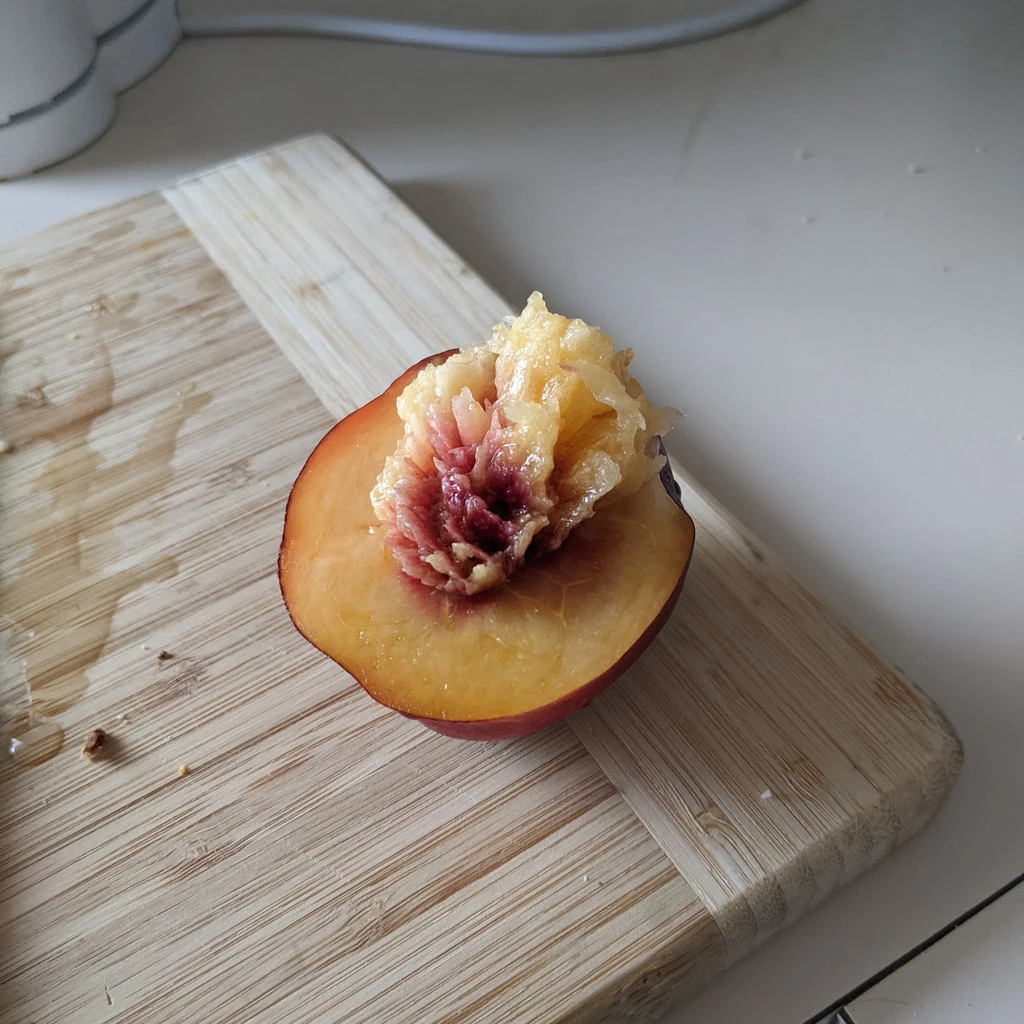
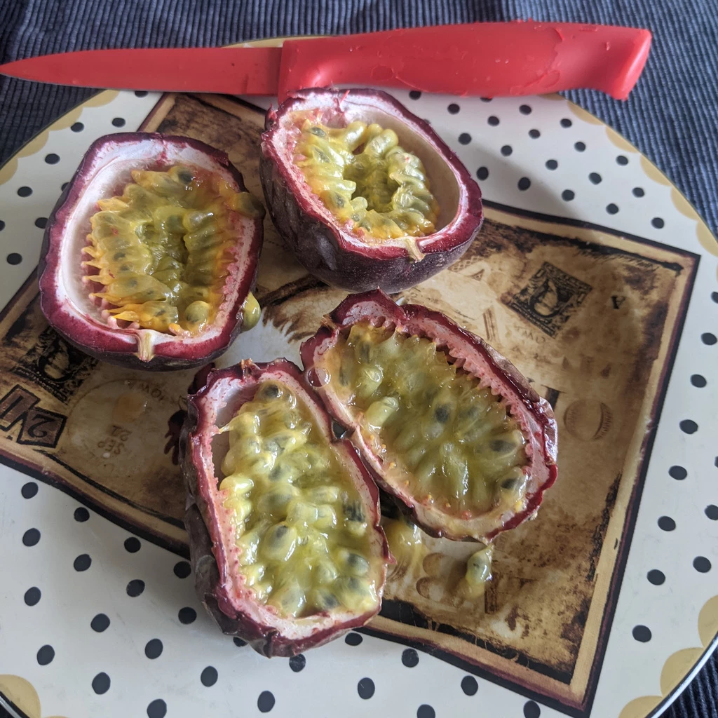
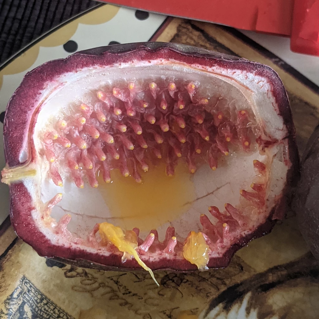
Before leaving I had to finish the remaining passionfruit. Can’t leave them for the weekend. Not that they’d get eaten. They’d spoil.
Of course I really do have a day job back in Canada, which means meetings. On this day I had a 9AM meeting and an 11AM meeting. The 9AM meeting was normal. If I was going to take an Uber to WLG I could have stayed at home for the 11AM meeting as well, but I thought I’d change it up.
Getting to WLG
Having already walked from WLG (7.7km, 1h56) on my way back from Rotorua, I didn’t really need to do that again. I guess that I would have had enough time had I left at 11, but hard to get lunch. Anyway, I walked downtown (while talking to Matt and Gregor) and then took the #2 bus out to the nearest stop, which is 700m away from the airport. I’ve done a lot worse (notably pre-747 YUL, about 1km through the berms and parking lot). It works for me, though I can see that it might not work for others.
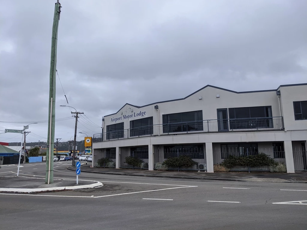
Sure, there ought to be a bus to the airport, and they are working on it; it’ll take until 2022 though. The old Airport Flyer seemed to be slower and often more expensive than Uber, which is not a great point in the price/performance space.
Flight
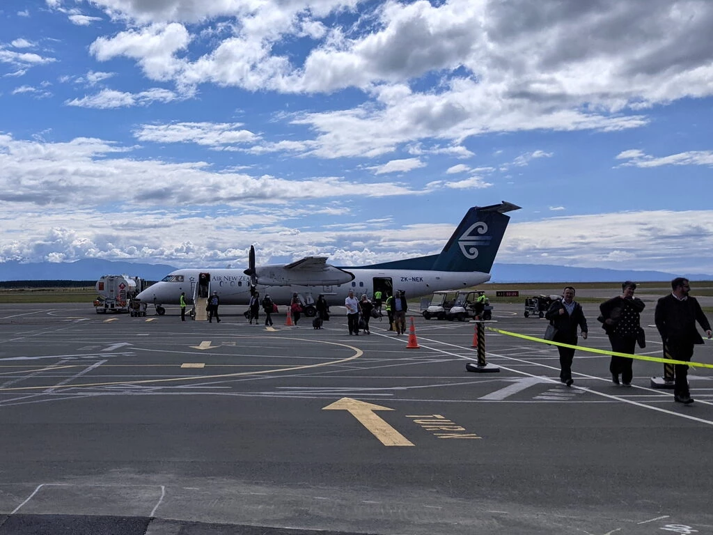
The shortest flights I’ve taken have been over bodies of water. At 148km, this was about 2.5× longer than YBC-YYY, but it was still just 20 minutes in the air and 45 minutes gate-to-gate, crossing the Cook Strait. It was also 20 minutes late, throwing a minor wrench in my schedule. With no security, boarding started about 10 minutes before departure, so I ended up waiting by the gate for longer than I planned. I was 10 minutes late for my 3pm meeting waiting to get off the plane, picking up baggage, and getting set up for my walk. But the lateness meant that I got to watch most of the Judo Quebec referee seminar scheduled for 1pm NZ time before they closed the aircraft door.
The walk
The content you’re all here for! Not that there’s really a lede to bury. While walking, I talked to students about their course project, and then to all my students as part of the COVID weekly social call. Matt pointed out that there is a genre: IRL streaming. Google says the average full-time IRL streamer can make between $3000 and $5000 a month. Maybe I’m doing it wrong.
The rules that I go by are that walking to the airport has to be from either downtown or where I’m sleeping (airport hotels excepted). Or vice-versa. YLW (Kelowna) is a bit of a loophole, since we stayed at UBC Okanagan, just 2km from the airport, which is much closer than the town in general. Hey, I set the rules in advance.
In NSN’s case, Google says 6.6km, 1h23. That didn’t quite work out as planned: Google Timeline says I actually walked from 15:07 to 17:20, after a couple of navigational mishaps, covering 9.8km.
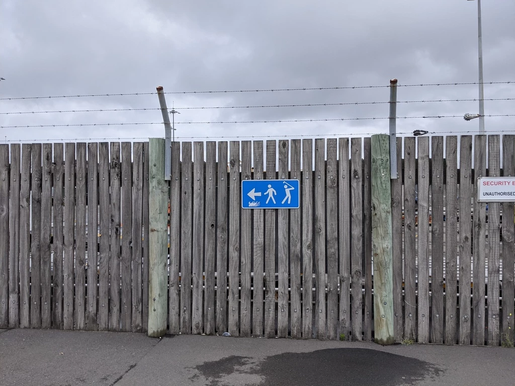
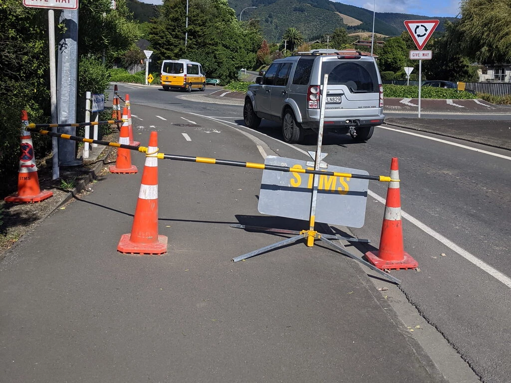
Leaving the airport wasn’t too hard, though I carefully checked the map to make sure I was going the right way. Then there was Quarantine Road, which is oddly apropos for 2021 New Zealand.
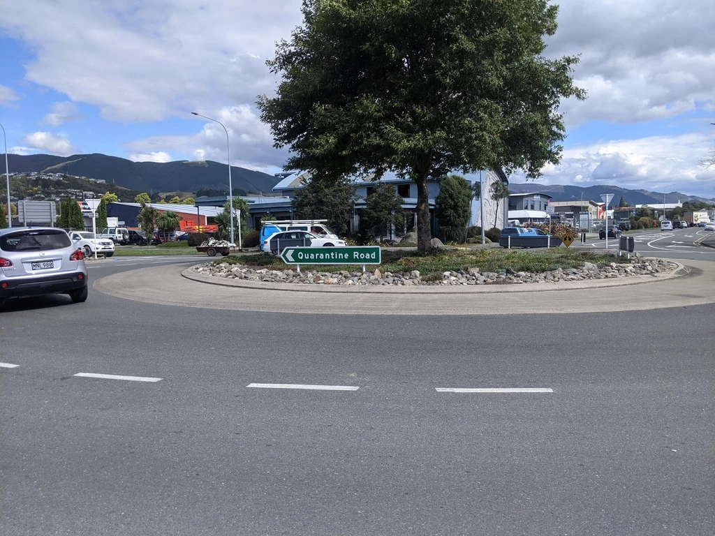
I had a choice between the Railway Reserve Pathway or the Great Taste Trail. Even though I do have great taste, supposedly the Railway Reserve Pathway was 1km less, and maybe had less walking on State Highway 6, so I opted for that.
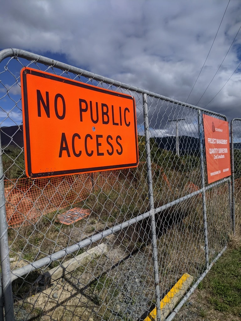
Google Maps then told me to walk along Whakatu Drive, which looks a bit like a highway with a sidewalk on one side. But there was a sign “Footpath closed, use other sidewalk”. What other sidewalk? OK, Google also showed that Highview Drive would get me through. It pays to be attentive to place names, though, and “Highview” implied some elevation gain. Apparently 92m, I found out later. But that was a moot point. It turns out that Highview Drive isn’t open for through traffic. There is a “No Public Access” sign and an intimidating-looking gate. Also Street View ends at the “No Public Access” sign. So, back down on Pinnacle Place and sneaking past the “Foodpath Closed” sign. The path was a bit cluttered but fine. Meanwhile, my battery was on track to run out. Fortunately my external battery was accessible and I plugged into that.
One more small navigation error onto Tuckett Place and then onto a shaded cycle/walking path and side street to downtown Nelson. Since I still had battery I could coordinate a pickup point past the Central Business District where Elliot could pick me up and drive me to where I was staying.
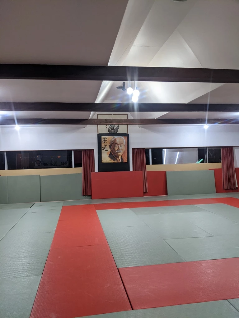
And, later on, back past the airport to visit the Nelson Judo Club in Richmond (more Canadian place names found in NZ!). The ultimate in negative progress, but much faster in a car than on foot.