Strangely enough, I am posting this on Quebec’s Fête Nationale (June 24) and one month after the hike itself.
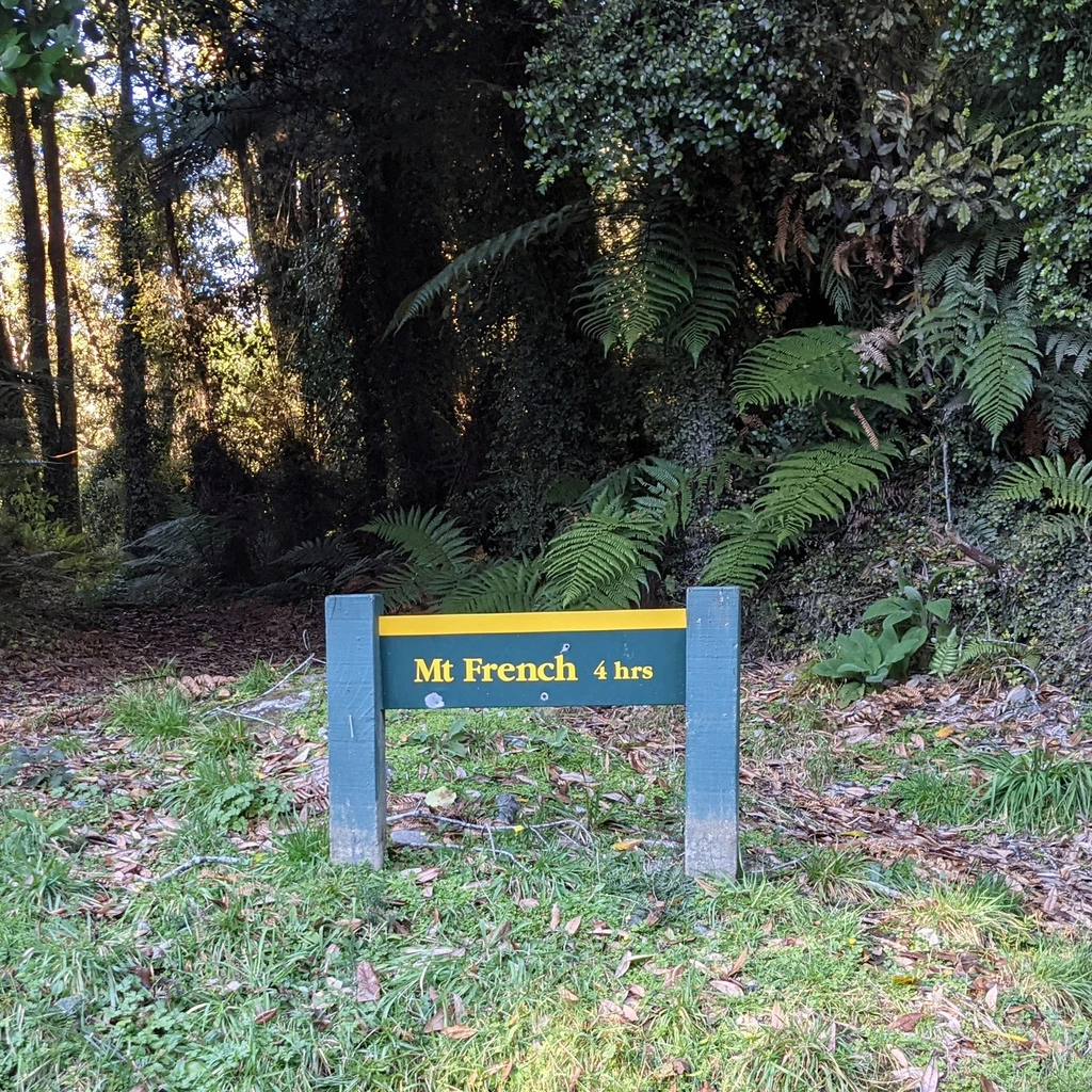
Monday, May 24: Mount French ⚜ (gallery)
I suspected that the Mount French route would be slightly marginal for daylight, since it was posted at 6-7 hours and sunset is currently at 17:15. But I thought we could do it quickly enough. The weather forecast was excellent and there were only a couple of fluffy white clouds in the sky.
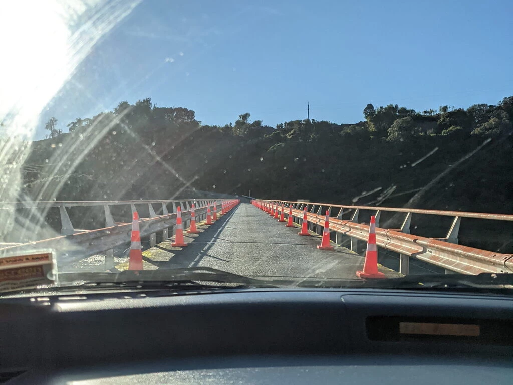
We left Greymouth at 9:05. No breakfast, no snacks, and a decision to make: New World or Paroa Store? The clock was ticking and the New World would be a 5 minute detour (plus however much time we spent in the store). Maybe Paroa Store would have adequate food.
Alas! It didn’t really, but, well, I guess we didn’t starve. The pork belly pie needed salt (unprecedented for a pie). On the other hand, we got some salty snacks for the hike.
On the route
With the pitstop, we managed to get to the trailhead at 9:55, and set off at 10:10, leaving us 7 hours and 5 minutes until sunset. Posted time to summit was 4 hours.
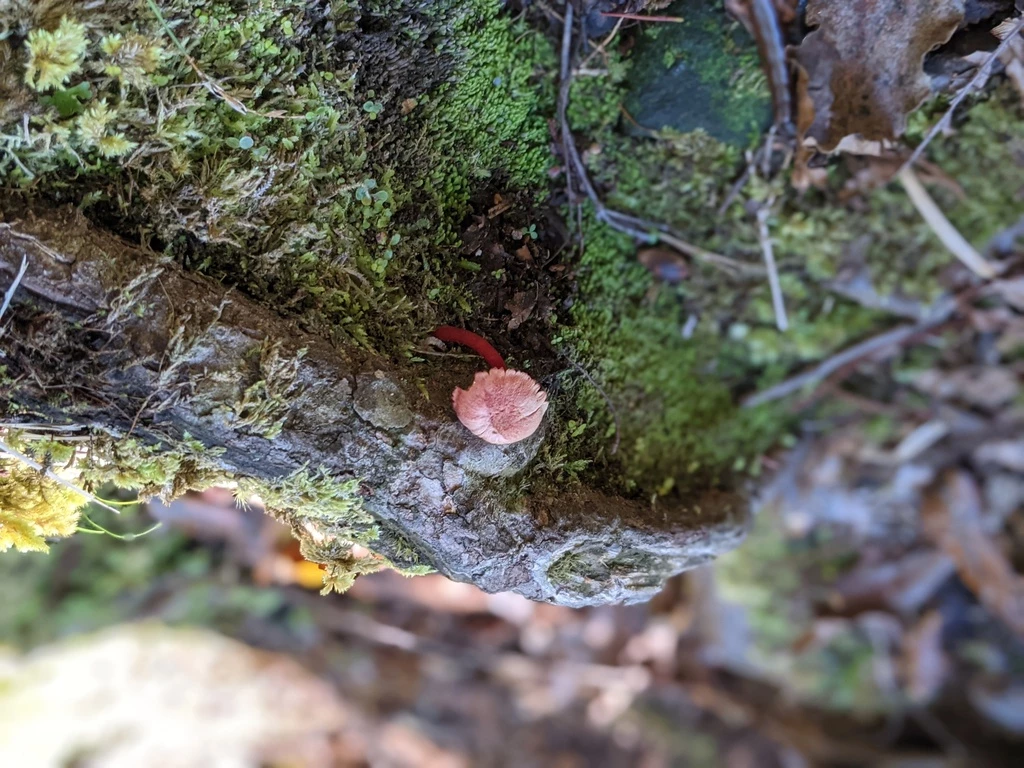
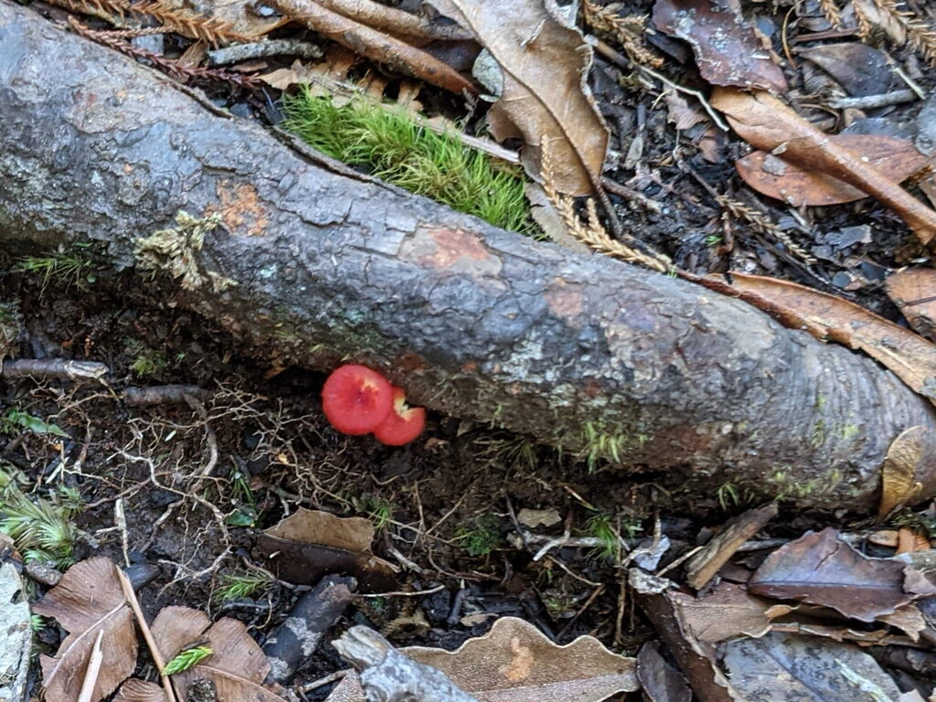
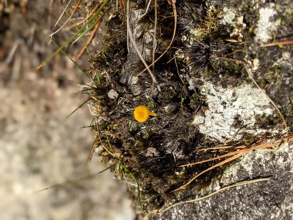
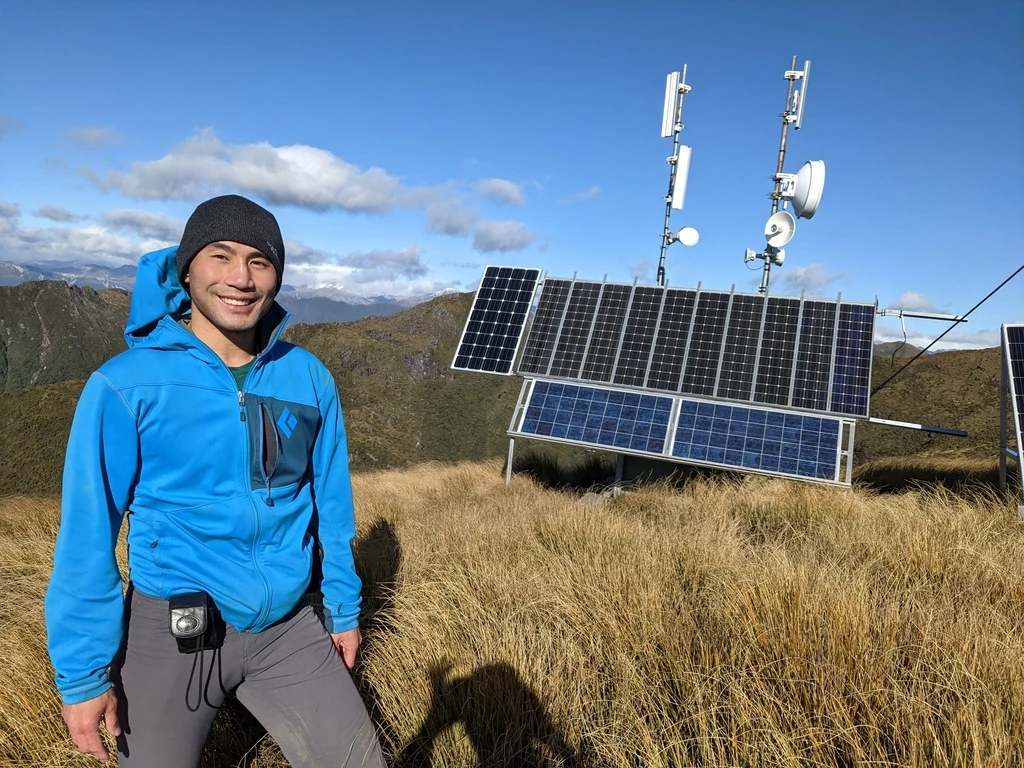
Inspired by the DOC staff person Steve at the Punakaiki Visitor Centre, I photographed various fungi along the way; May is apparently peak season for fruiting fungi. I didn’t upload them to iNaturalist along the way, but I was surprised to find that I actually could have once we ascended from the valley floor. The cell towers on Mount French help with that.
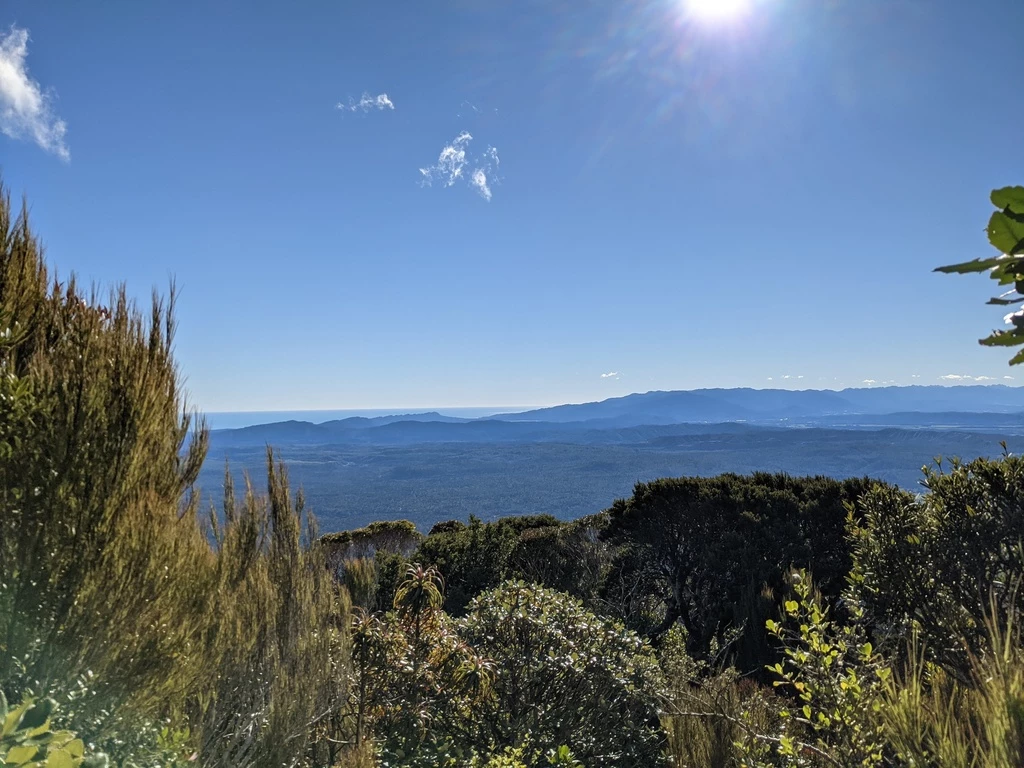
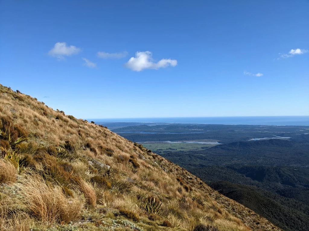
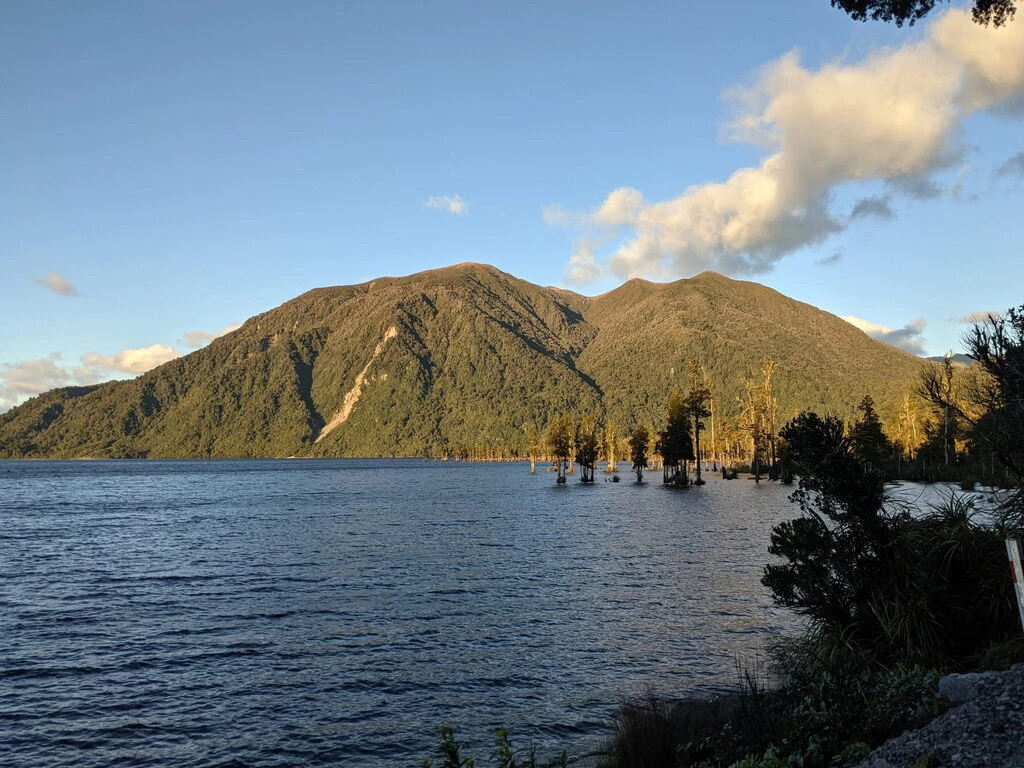
The first two hours were relatively steep forest walking with not much of a view. The trail is classified as a route, which is about right. It’s not a sidewalk, but it’s also not Class 3. I guess 2+. We hit treeline around 12:20 at around 1100m elevation. (The thing about this hike is that it starts at really low elevation, around 190m, and it tops out at 1303m.) As promised by the promotional materials, we had a great view of Lake Brunner (Moana) and the Southern Alps, which do look like real snow-capped mountains at this time of year. Also cellphone towers. Up higher, we could also see the West Coast and the ocean.
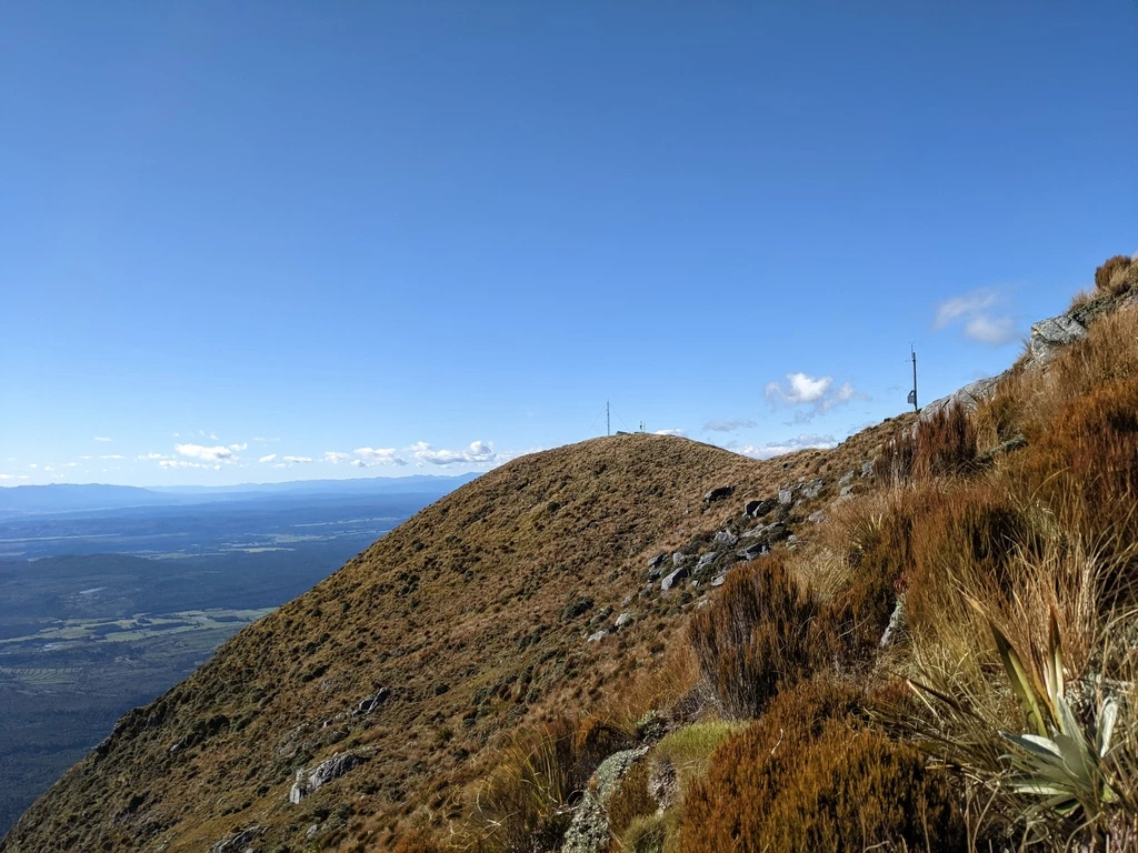
Once we got past treeline, and especially once we got onto the ridge, the wind really picked up. It was no time to dally. At 13:25 (3.25 hours), we got to a place with some mysterious construction, some towers, and looked like the summit. Beautiful views, well worth it on that day, and in good time to beat sunset.
Missing the summit
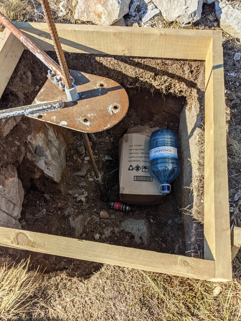
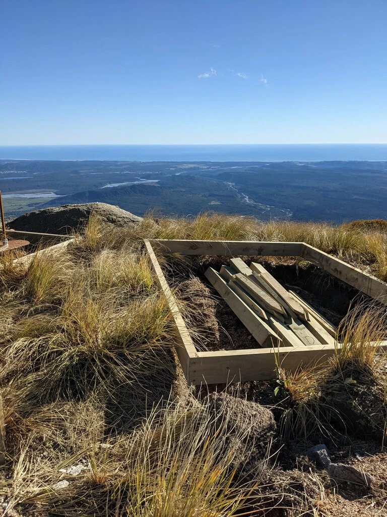
Unfortunately, the GPS data suggests that we missed the true summit. I didn’t see any point that was obviously higher, except for Ben Claddagh, but the GPS says that we got to the marked structure, not the summit. Ben Claddagh would have involved a couple hundred meters of descent. Without GPS, we would just have called it a summit, but now I have to say that we probably didn’t summit. Instead, we saw these weird constructions on the not-summit.
Getting back to treeline, we looked at the various plants. It would be good to know New Zealand plants better. I can identify a few and look them up, but I definitely don’t know most of the plants. This sub-gallery has both fungi and plants.
Once we got out of the wind we had a lunch break and made it down the mountain. I did bash my knee falling at one point (it hurt for a week afterwards), but otherwise our descent was uneventful, and we got back to the car by 16:20, well ahead of sunset.
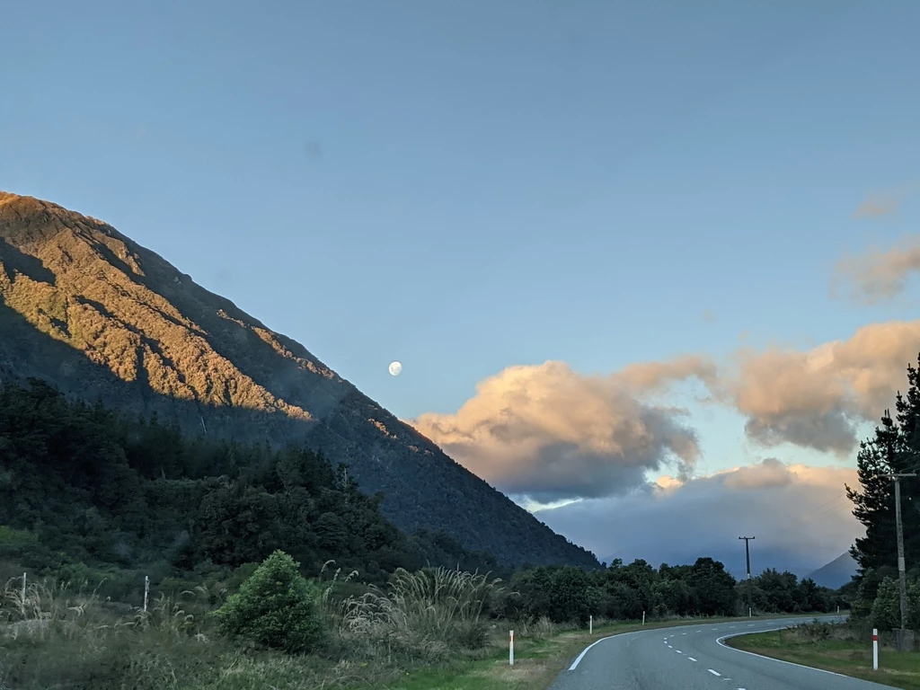
Driving to Arthur’s Pass the moon was three days out from the full moon/eclipse on Wednesday evening; there was a good moonrise which is beyond my ability to photograph. We got more views of snow on mountains as we drove through the pass during golden hour.
Oops
In an ideal world, I would have fueled the car in Greymouth the night before. But we were tired after a day full of tourist activities, so I put this off for later. As we pulled into Arthur’s Pass, the gas tank warning came on, and I knew that it was about an hour (82km), to the next gas station.
What’s more, the gas station had a posted 17:00 closing time, and we got to Arthur’s Pass at 17:30. The pump was decidedly not automated, but indicated that it was possible to call out the attendant for a modest $30 additional fee. We spotted him still inside the building and got him to turn on the gas pump.
Unfortunately, this rather old pump had bad UI design. I was sitting inside the car with my wet shoes and noticing that the dollar amount on the diesel side was going up. The attendant then asked “Did you mean to put diesel in your car?” Well, at least he didn’t make us pay the call-out charge, just the actively-harmful diesel now in the car.
To be continued…