MP wanted to do this hike. Sure, sounds like fun. Refuges in the Alps: not cheap, but I’d rather not camp.
Day 0: Back to Brossard and off to Geneva
Dropoff at P10 at YUL and then shuttle bus. Should not have bought Chamonix bus ticket in advance, because we got in earlier than planned (having eliminated a stop in BRU), so wasted a ticket. They’re not expensive, but why pay when you don’t have to? There is same-day availability for those shuttle tickets.
Chamonix sure is expensive. Did not like the lunch options in Chamonix once we got dropped off by the bus. 18EUR poutine, no thanks. Cheap money withdrawal at the La Poste ATM (significant price differences between ATMs).
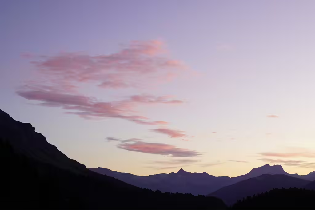
But, Chamonix is also impossibly scenic with the Alps there. Stayed at Rockypop in Les Houches, which is nice. Indian food in Les Houches was OK. Got rained on walking back to Rockypop.
Day 1 (13.8km, +500m/-1532m): Planpraz (back) to Les Houches
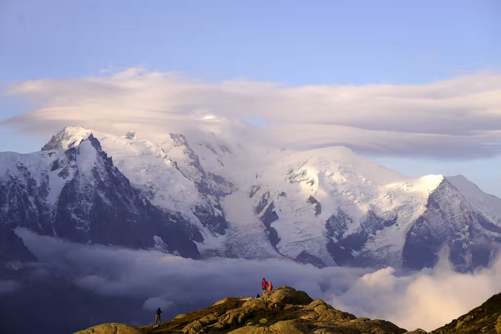
Took the bus to Chamonix, first cable car up to Planpraz (w/random Japanese hiker), walked up to Brévent and then back down to Les Houches and Rockypop. Walk up was nice and Brévent is pretty (and also easily and often accessed by chairlift). Walk down is a real grind.
Guy on his last day on the trail was not so happy after having a wet night. Ran into Canadians at the Jesus statue (Ontario), and also on the trail (Quebec, father from France). Hope they did OK.
Finished at 4 and had a croque monsieur in Les Houches.
Day 2 (14.1km, +850m/-1233m): Les Houches (Bellevue) to Les Contamines and then Nant Borrant
First part from Bellevue via Col du Tricot was extremely busy, like being on the 401 (huge highway through the Greater Toronto Area and towards Montreal). Well, maybe a bit better than the 401. Walked near the Glacier de Bionnassay. Crowds seemed to thin out after the Col du Tricot, but then there was still a bunch of downhill. Way easier than yesterday, like Great Walk class trails. Waited in town for the bus to skip 5km of road walking, got off at Notre-Dame de la Gorge, then walked up 200m (like a steep sidewalk—all slab) to the Refuge Nant Borrant.
There were three Americans we were walking about the same speed as near Les Contamines, who we ran into again on another day. Recognized a Canadian (from BC) by MEC backpack. At dinner, talked to Omar, CS faculty near Paris, and his kid.
Bought compression socks and a power pack in Les Contamines with hilarious InterSport staff (“Les Houches c’est nul”; guessed I was an engineer).
Day 3 (11km, +1600m/-350m): Nant Borrant to Robert Blanc
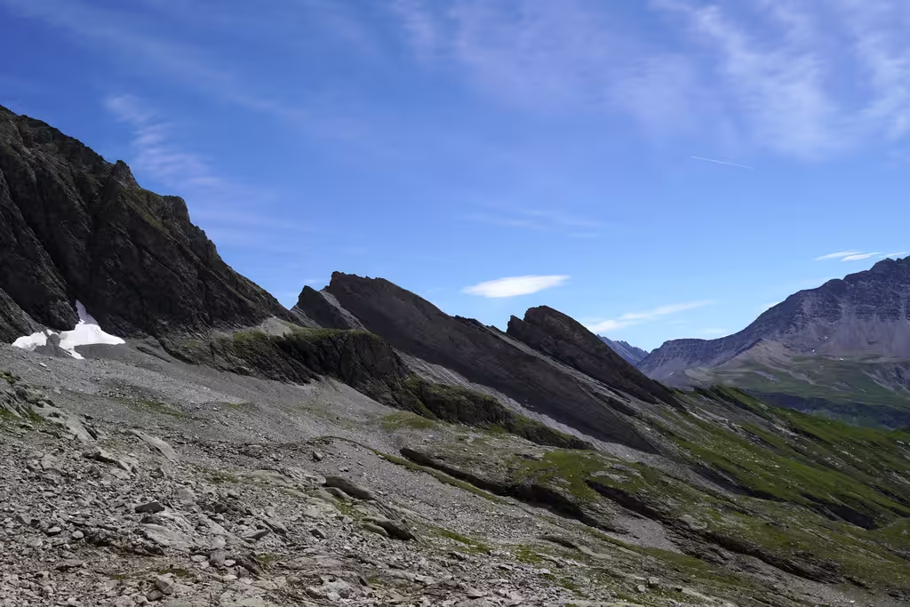
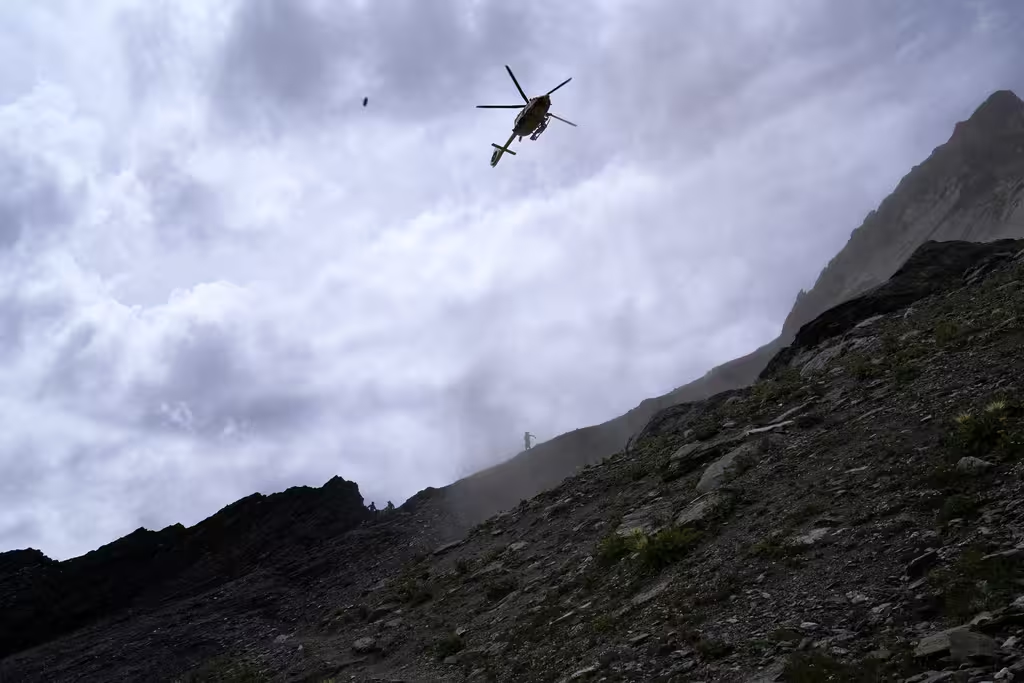
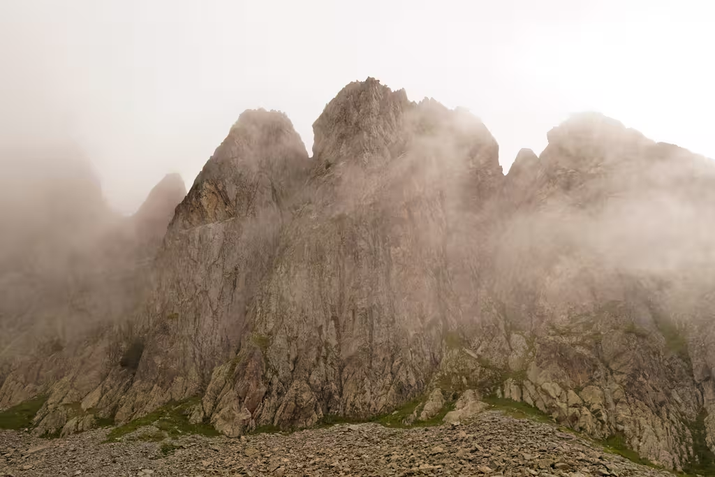
Eventful day on a more alpine (“T4”) variant to the TMB. Out to the Lacs Jovet and then up the Col d’Enclave and the Grande Ecaille. Enclave steep and quite exposed though easy terrain. Grande Ecaille looks cool. Getting off track not great, and we helped call in a helicopter for a thigh laceration for another party. Also, crossed clueless looking people going the other way on the Grande Ecaille pretty late in the day.
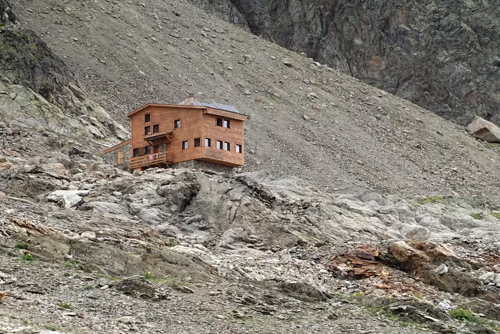
The Refuge Robert Blanc is nice but pretty cramped, even not quite at max capacity (we know that 2 hikers took a helicopter instead, for instance).
Day 4 (18km, +638m/-1321m): Back onto the main TMB at the Col de la Seigne and then to Maison Vielle
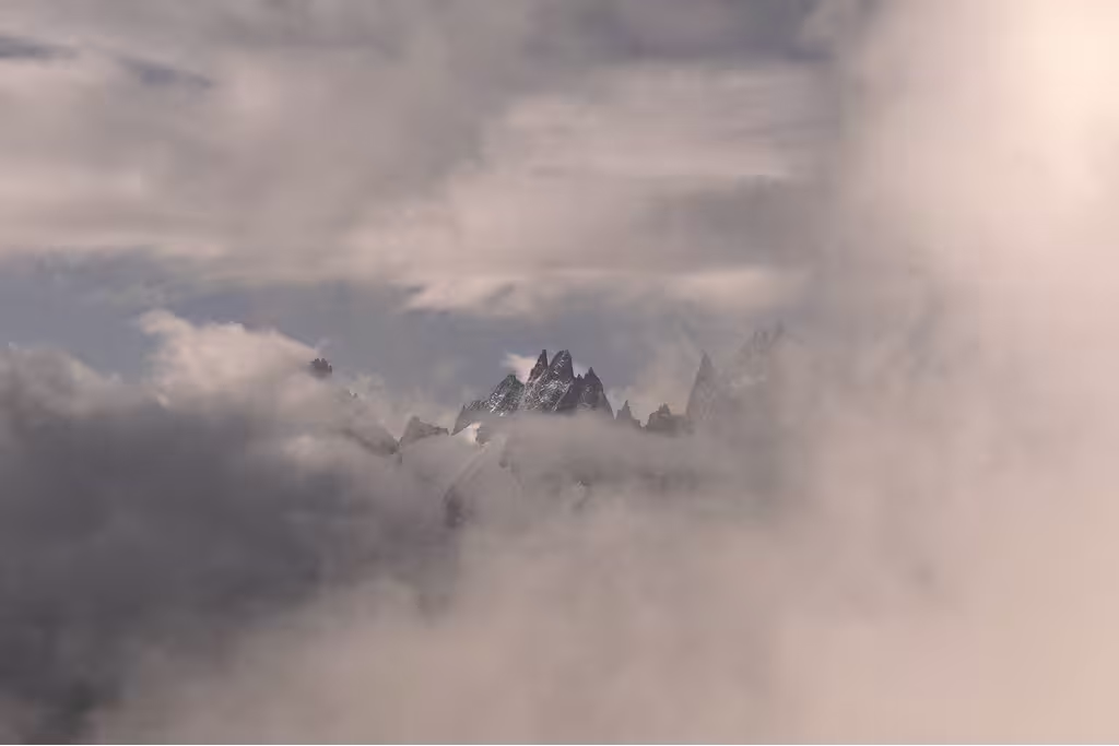
Left France, entered Italy. Number of people on track went from 16 (two guided parties of about 7 plus us) to zillions again. Before we got to the TMB there was an uphill section with chains, but easier than day 3 still. Back onto the sidewalk as well, or actually literally a dirt road with bikes. Undercast. Beyond Refugio Elisabetta, downhill and then a straight road in the valley. At the end of the road is Cabane Combal, and then the part from there to Courmayeur (8km, +400m) is often bypassed with a bus, but we went uphill again and on to Maison Vielle. Got to the ski area a full 30 minutes before getting to the refuge. MP really liked the peas, carrots, and ham (secondi). There was a staff singalong and UTMB coverage on TV.
Day 5 (3km): Courmayeur rest day
Mentioned to some French people that we were taking a rest day. “What, you can do that?” “Well, maybe not now for you, but yep!” Had heard complaints about Italian breakfasts from trail running Australians, but the meat, cheese, bread, and fruit here was more than fine. Caught among the first chairs down to Courmayeur at 9:35, paying cash for lift ticket. Did laundry, got glue for MP’s shoe, and reprovisioned. Checked into the Hotel Edelweiss where we’d be staying 2 nights. Everyone watches loud TV until 9 and then it’s quiet. Take-out BBQ chicken (delicious) for dinner.
Day 6 (17.7km, +1048m, -1528m)
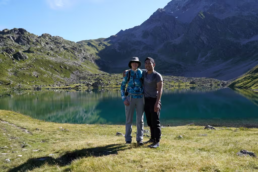
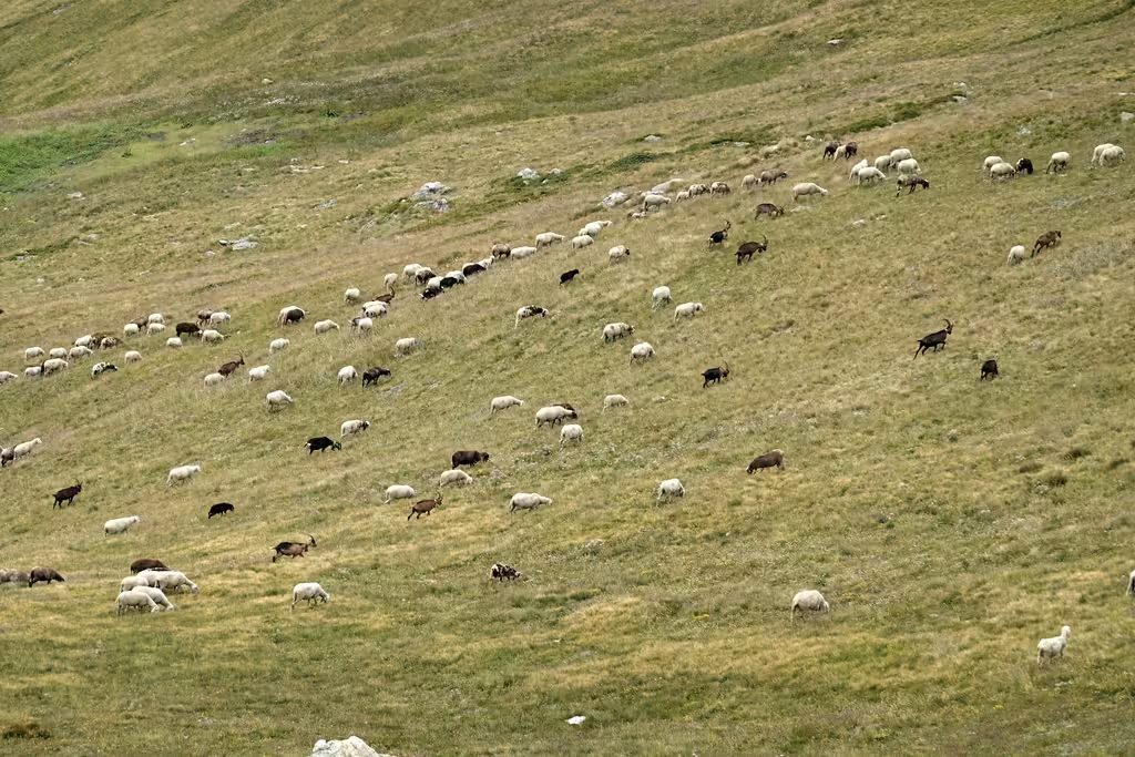
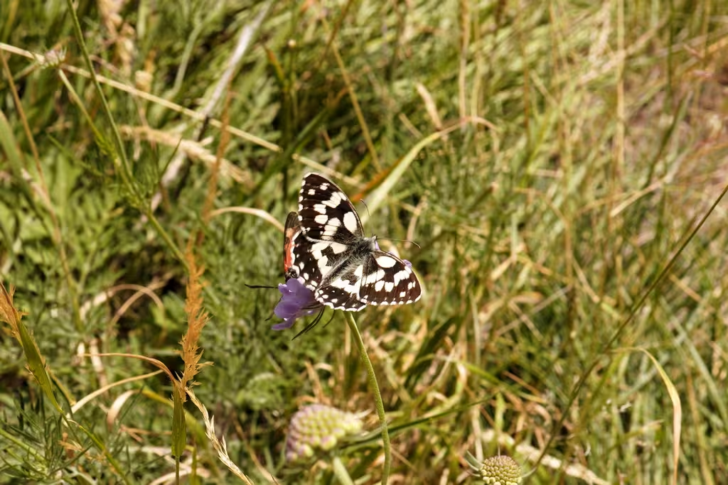
Bus out to Rif Bonatti stop (5 people including a woman from Saskatoon, then everyone embarks at Grands Jorasses including a couple from Gaspé with whom I had a mutual acquaintance), up 1 hour to Bonatti, then back to Courmayeur via Mont de la Saxe variant, going E of Tete entre deux sauts. Also encountered a couple from Magog. Marmot sighting as well as northern wheatear and a bunch of choughs. This variant also not very busy. Courmayeur sure looks close but is 700m below and takes a while to get to. Got a view back to Maison Vielle as well. Bertone looks super popular (close enough to Courmayeur though still 700m up). Lots of butterflies.
Day 7 (9.1km, +397m, -315m): Rif Bonatti again and then to the Chalet Val Ferret
Shorter than originally planned because Val Ferret had last-minute availability. 3 hour day, shortest on the trip. Had a private room, which was good because MP caught a cold, perhaps at Robert Blanc. Also the best food on the trip: penne with ground beef, then polenta with mushroom, and panna cotta for dessert.
Room was expensive at 100EUR a person and we accessed it through stairs behind the front desk. As with many road-accessible places, there was a large group, plus one other solo hiker.
Day 8 (14.6km, +764m, -922m): Val Ferret to Gite de la Fouly
Another good Italian breakfast with croissant, meat, and cheese. Passed Refuge Elena, which seemed like a big machine (capacity 125?). Over to Switzerland via the Grand Col Ferret, where snow fell on us as we went through (brr), but also people wearing shorts (didn’t want to get their pants wet for the hut). Grey, cold, and windy.
In La Fouly, encountered yet more Quebecois headed over the col on a big day. Weird super-compressed rock at La Fouly. Checked out the grocery store (reasonable) and the tourist information (where MP asked about taking the bus to Champex).
The food at La Fouly was OK (veggie lasagna) but not as good as in Italy, but the place was super modern and had USB sockets for charging. Had to wait till 4 to check in, as with many other places, and had a super expensive tartare at the Auberge Restaurant des Glaciers while waiting. But it was inside rather than being in the cold outside.
Day 9 (17km, +579m/-590m): La Fouly to Relais d’Arpette
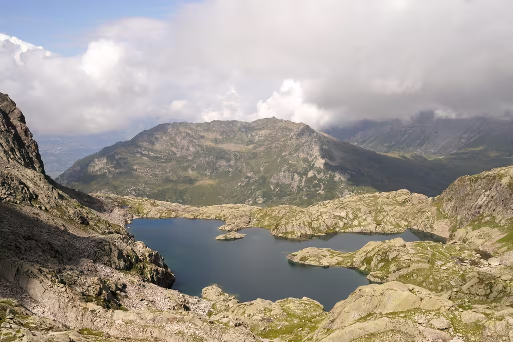
Long but uneventful walk to Champex. That part is mostly flat. Lunch break in Champex by the lake. People say Champex looks like Canada. Well, which part? Rockies lake? Maybe. Alpine botanical garden cost more than I was willing to pay (8CHF).
Then, 150m up to Relais d’Arpette. That relais is a big machine with 100+ spaces and a bunch of different rooms. Took showers first before the tons of groups came (again, with luggage delivery). More Quebecois from Sutton on a tour. We had a newly-renovated room and only one other guy. Chili was fine.
MP found a 50CHF note, handed it in at the front, then couldn’t follow up on whether someone claimed it.
Day 10 (11.5km, +1473m/-1061m)
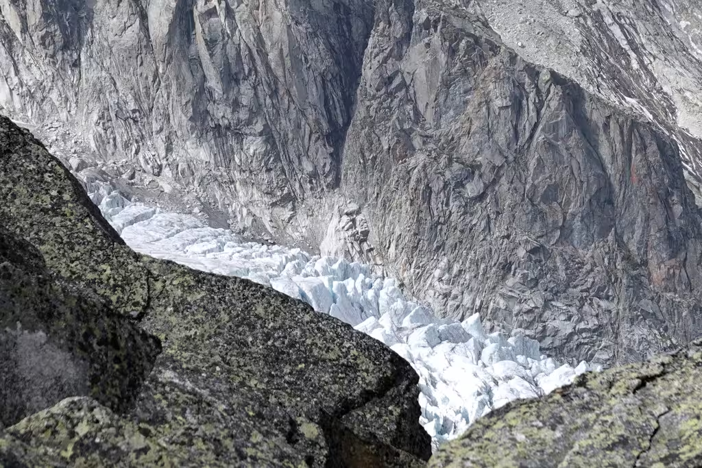
Relais d’Arpette to Refuge les Grands. Pretty big climb to the Fenêtre d’Arpette and then down again. We got decent views though. Not bluebird but we definitely saw the Glacier du Trient and a lot of bare rock which presumably used to be glacier. Picnic tables on the way down with a guy giving advice to hikers about getting water before going up the col.
New bridge across the Trient at the buvette just got put in and was being painted. And then after that there was another climb up to les Grands. Which I predicted from looking at the terrain. But yes, down to the river and then right back up again. A bit demoralizing when we started above the elevation of the Refuge from the Relais d’Arpette. Last bit up to the refuge included a 150m cliff with a paving stone ramp at the top.
Refuge was interesting: it is run by a sub-section of the Club Alpin Suisse and staffed by volunteer hut wardens. In this case, a grandma and her two grandkids; her daughter came by in the evening (“aide-gardienne, aide-aide-gardienne”). There were two no-shows and also two Americans doing the walker’s Haute Route. Definitely not crowded: I guess between being off the beaten track, and not providing food, people don’t come. Only 20CHF per person.
This hut does not provide food, but we had brought dehydrated food to eat. Good bird spotting at the refuge as well, though the birds were still a bit far and I wasn’t going to lug the 1kg 100-400 lens.
Day 11 (13.5km, +1144m/-515m)
Refuge les Grands to Refuge Lac Blanc. Still 2 hours from Les Grands to Col de Balme (mostly flat ie +160m), where we took a photo break on the brink of the valley. Chairlift down is kind of pricey, so we walked halfway down (not completely trivial to find the start of the path) and it cost us about 66% the price of the whole thing.
Le Tour is smaller than I expected and has essentially no services. Had an average panini just outside the lift. There was a better buvette at La Boerne (after some road walking) but I didn’t really know about it. Some more cables to climb to Lac Blanc, though not-the-cables is pretty easy scrambling for the most part. Congestion at the cables. Especially good views of the Chamonix mountains. Got to Lac Blanc when the outdoor dining was closing but got a cheese plate and crepes, but no hot dogs. Did get a sausage with the lentils at dinner, so maybe we didn’t need the hot dog.
Refuge Lac Blanc is under-watered and hence under-powered (hydro storage). It’s pretty small (40 places). Can’t charge your power bank there, as an American found out when his power bank got put away by the staff. Also no organized groups, perhaps because there is no luggage transfer.
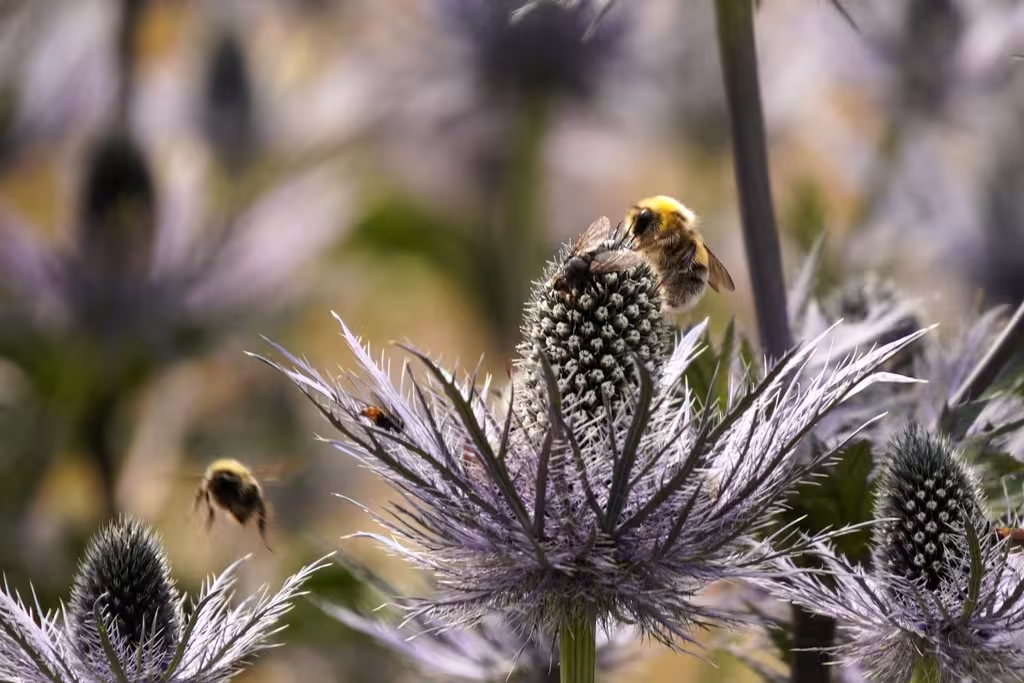
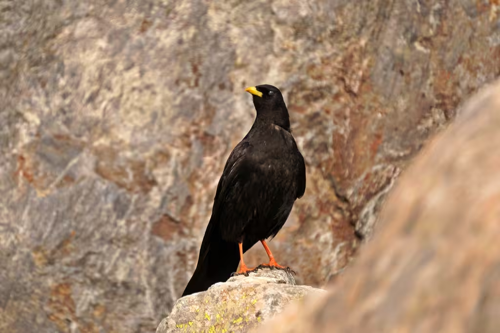
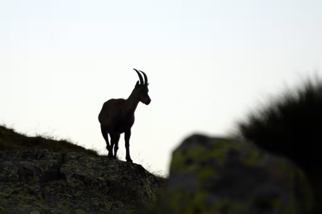
Lac Blanc is nice but perhapps overhyped. Mountains, heaps of choughs, ibexes.
Day 12 (August 1, but we’ll finish the walk)
Refuge Lac Blanc to Flègere and Planpraz and then Grenoble. This was supposed to be a simple 3 hour walk along the High South Balcony back to the lift and then down to Chaonix. I followed the signs to Planpraz but they led me to the Col de la Glière and the lac Cornu instead, which was somewhat alpine (though there were still a fair number of families with small kids, and cables). More elevation gain than expected for sure. It was certainly scenic and I also passed by Galbert, where I had an climbing/skiing epic about 15 years ago with Chris Glazner. Anyway, we got to the chairlift, took it down, picked up our bags at Les Houches, a pizza (tartiflette; the staff love Quebecois), and took the bus and train to Grenoble.