I’d been to Nelson Lakes National Park a couple of times before: an attempt on Mount Hopeless in August 2023; and the Travers-Sabine in February 2024, for which I have posted 0 pictures so far (it’s on the list!).
Angelus Hut and Peak are also popular destinations in the park. I’d like to visit in winter as well. But we had a couple of days in early December, at the start of NZ summer, so the plan was to go up to the hut on Sunday (it was full on Saturday), summit on Monday, and then return on Monday. Before that, we would go climbing at Pohara for two days.
- Serialized version of the phone-retrieval saga as a Mastodon thread
- Gallery: Pre-trip: climbing at Pohara, December 5
- Gallery: Pohara to Wakefield, December 6
- Gallery: Robert Ridge approach to Angelus Hut, December 7
- Gallery: Angelus Peak, December 7
- Gallery: First Phone Search, December 8
- Gallery: Second (Successful) Search & Back from Angelus Hut, December 9
Let’s get on with it. This medium has different affordances, so let’s see how it comes out. The photo album isn’t ready yet, so no links this time.
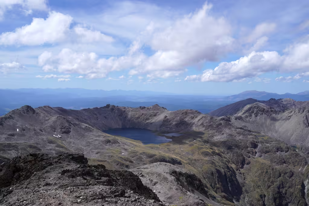
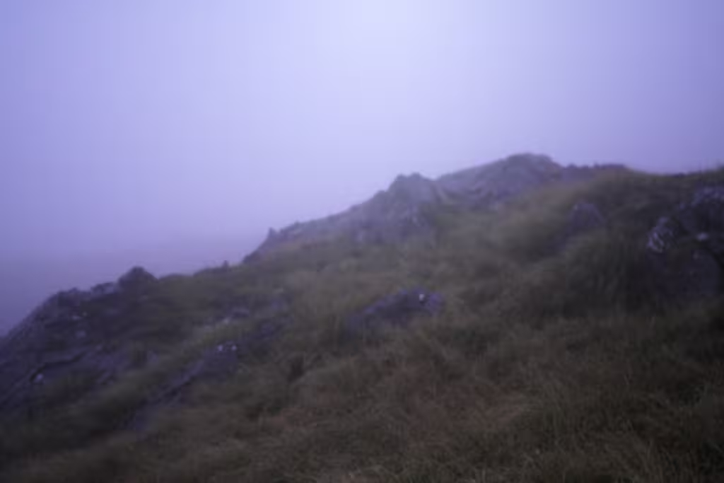
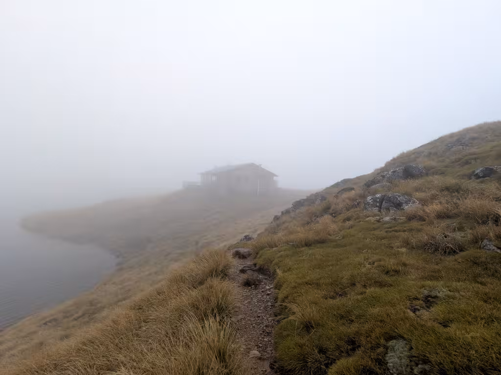
Angelus Peak, December 7
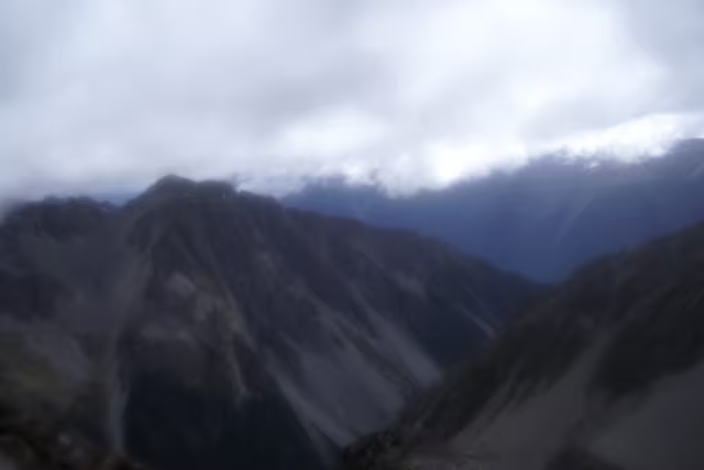
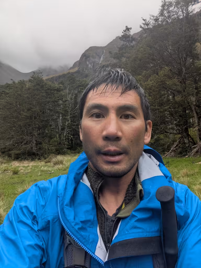
A windy day, but with excellent visibility, on Angelus Peak.
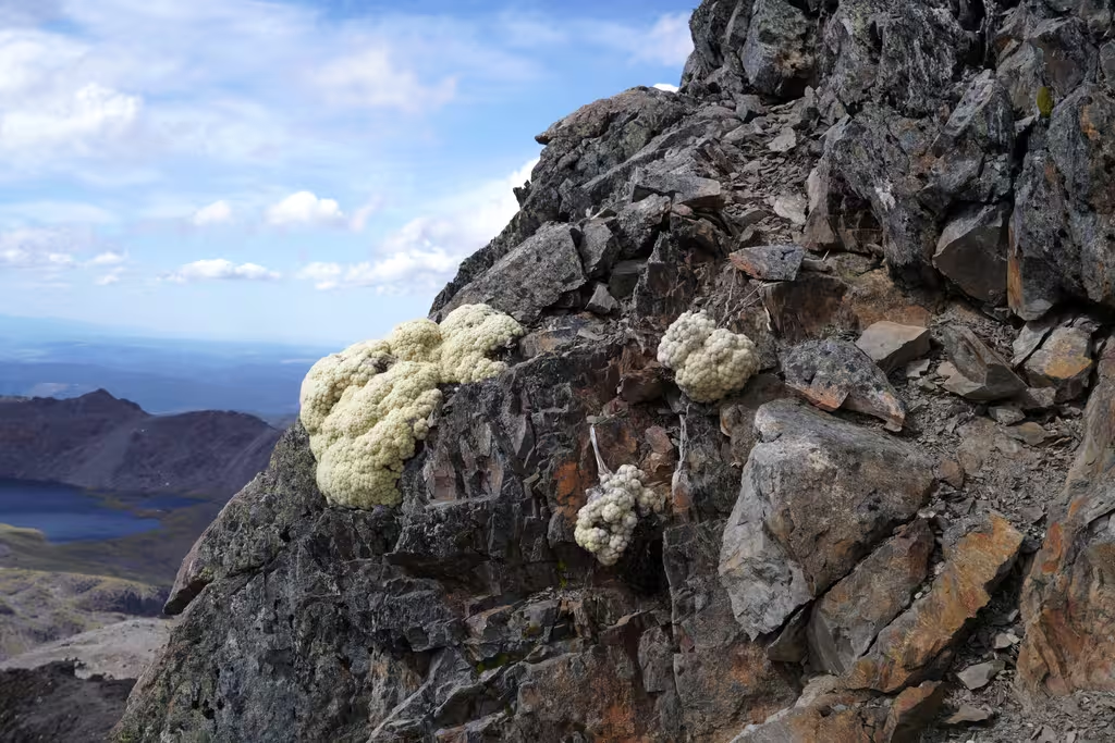
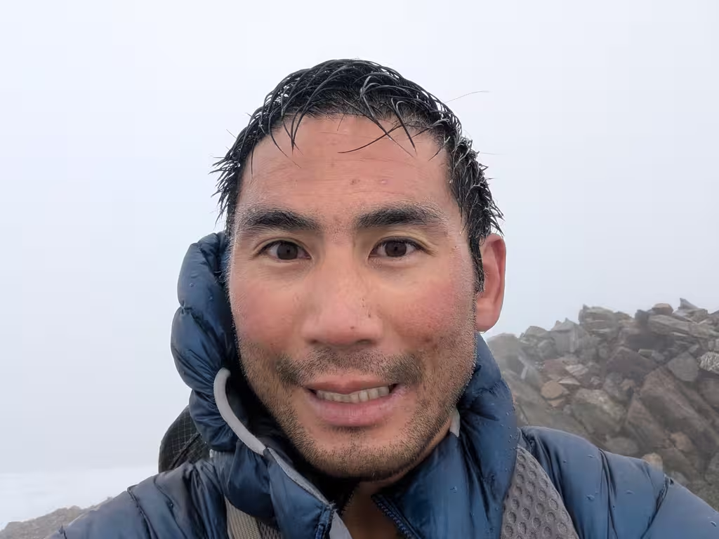
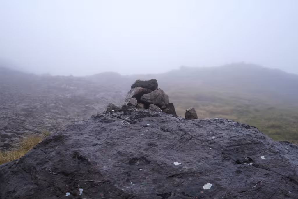
This is not technically the last picture from my phone, but close—it’s a better picture from my camera.
It turns out that my phone dropped out of the front pocket of my Aarn pack, I discovered a few minutes later.
There’s no way I was going to be able to find it in this terrain, and I had no phone, because my spouse wasn’t up for the 4 hour round trip to the summit after 5.5 hours to the hut. The track is relatively well marked but it is also easy to go off track, and the pockets were hanging a bit low, so away my phone went. Oops.
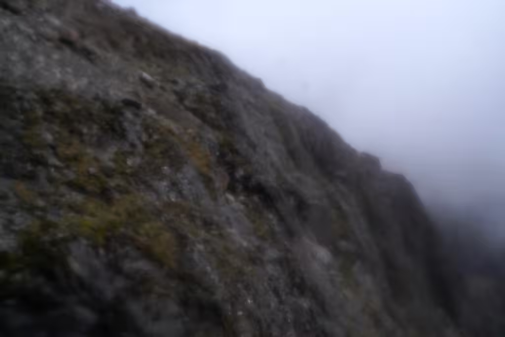
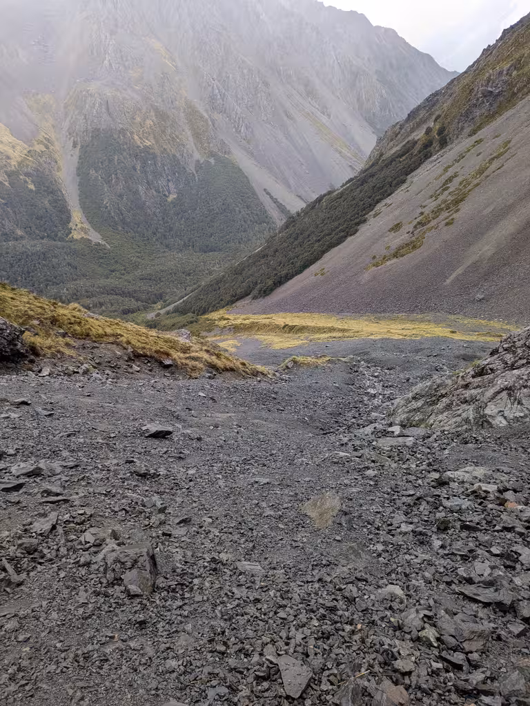
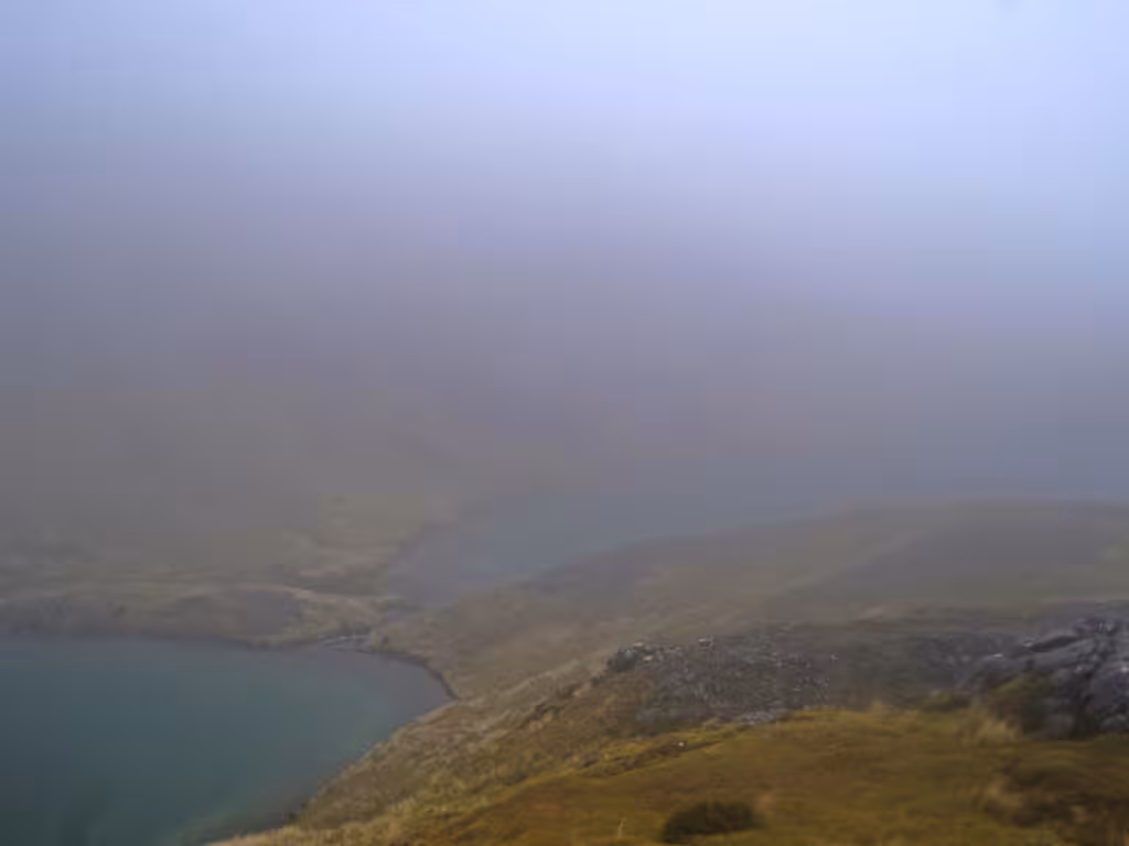
Spectacular terrain, though.
But I had noticed that I was on network, so I should be able to find the phone, I thought. Back to the hut. I was definitely too tired to go up again that day, and I would have gotten back down a bit after sunset (which was 8:45pm).
There were a couple of ways my plan could fail, but I did not anticipate the actual failure mode! For instance, I might have been on network but not when the phone fell; or, maybe I wouldn’t be able to log in.
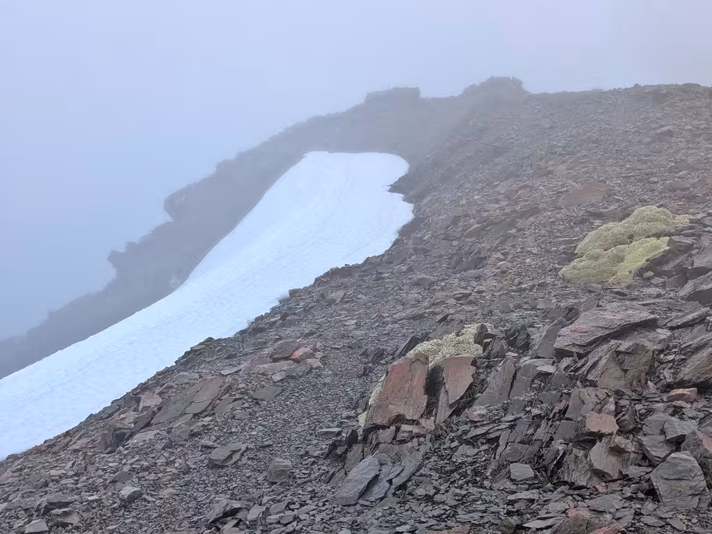
Angelus Peak, second go, December 8
The next day, I went for a walk, leaving at 5:25am, armed with a second Android phone. I was hoping to quickly find the phone and then walk back out to the Robert Ridge carpark.
Nope!
Visibility was much worse, though GPS-aided navigation was possible.
Finding your phone
In case you were wondering: if you remember your Google password (which I do), you can use what is now called the Find Hub to find your phone. It’ll let you enter e.g. your lock screen code as a secondary auth.
Unfortunately, the map that Find Hub displays is completely useless in the wilderness (it’s the Google Maps map).
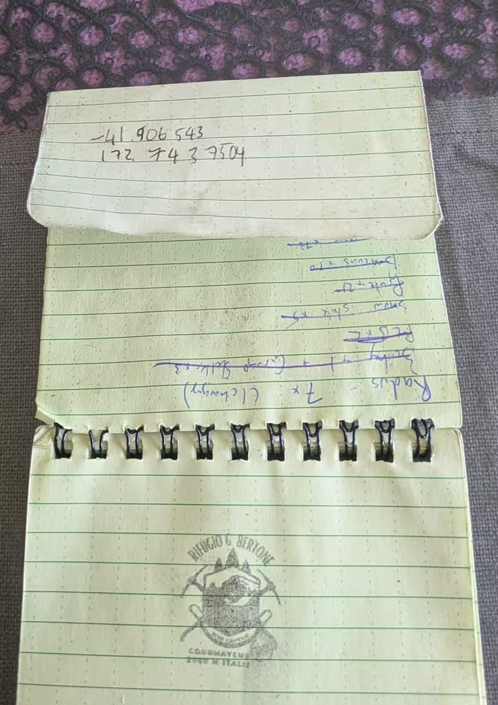
Fortunately, if you are temporarily off network, you get an error message which has a URL string with the GPS coordinates that you’re finding. So I wrote down the coordinates. Having paper and pen was a critical win here. Otherwise I would have had to memorize the digits to type them into some other app.
It would be terrible to have the wrong coordinates, wouldn’t it?
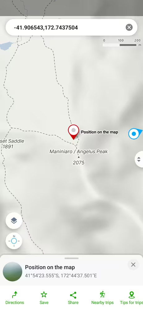
I entered the coordinates into Gaia GPS as a location.
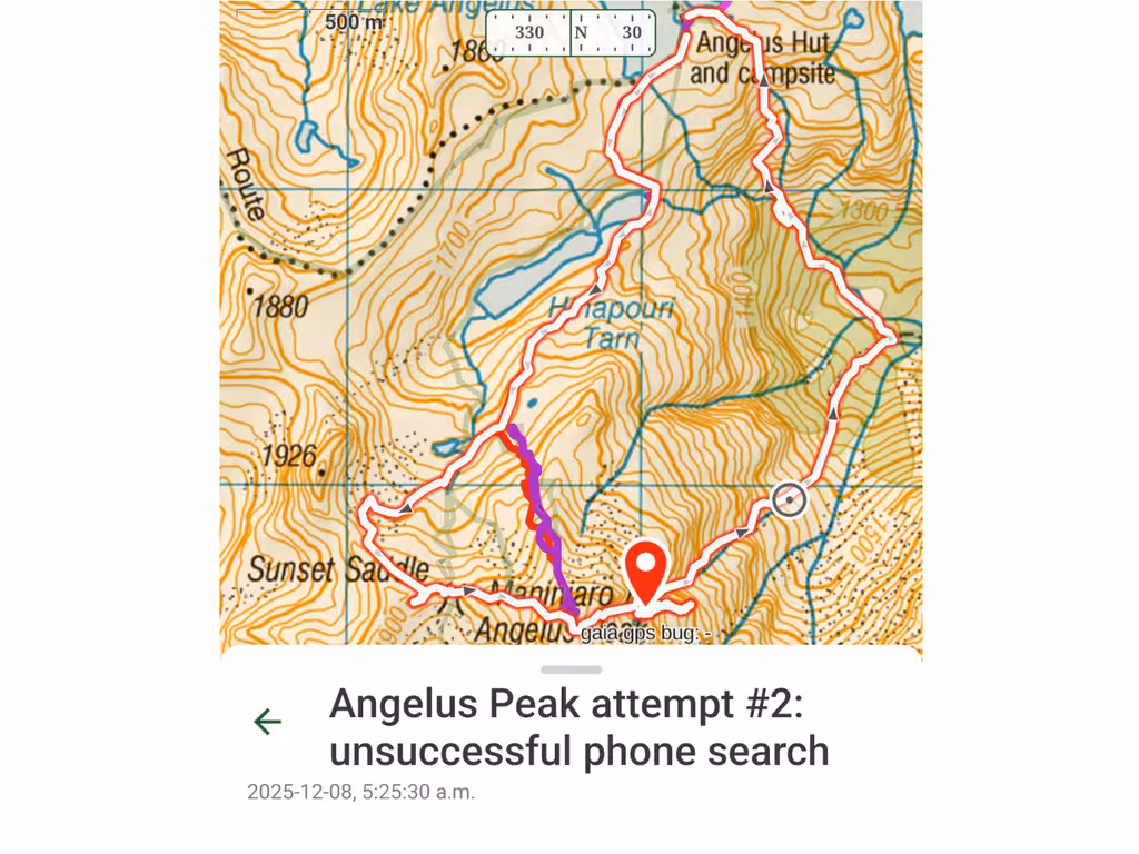
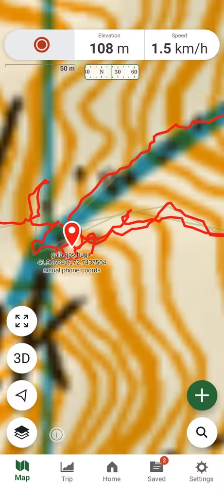
Let’s zoom in on this track. You can see where I was looking for my phone, right? No phone found.
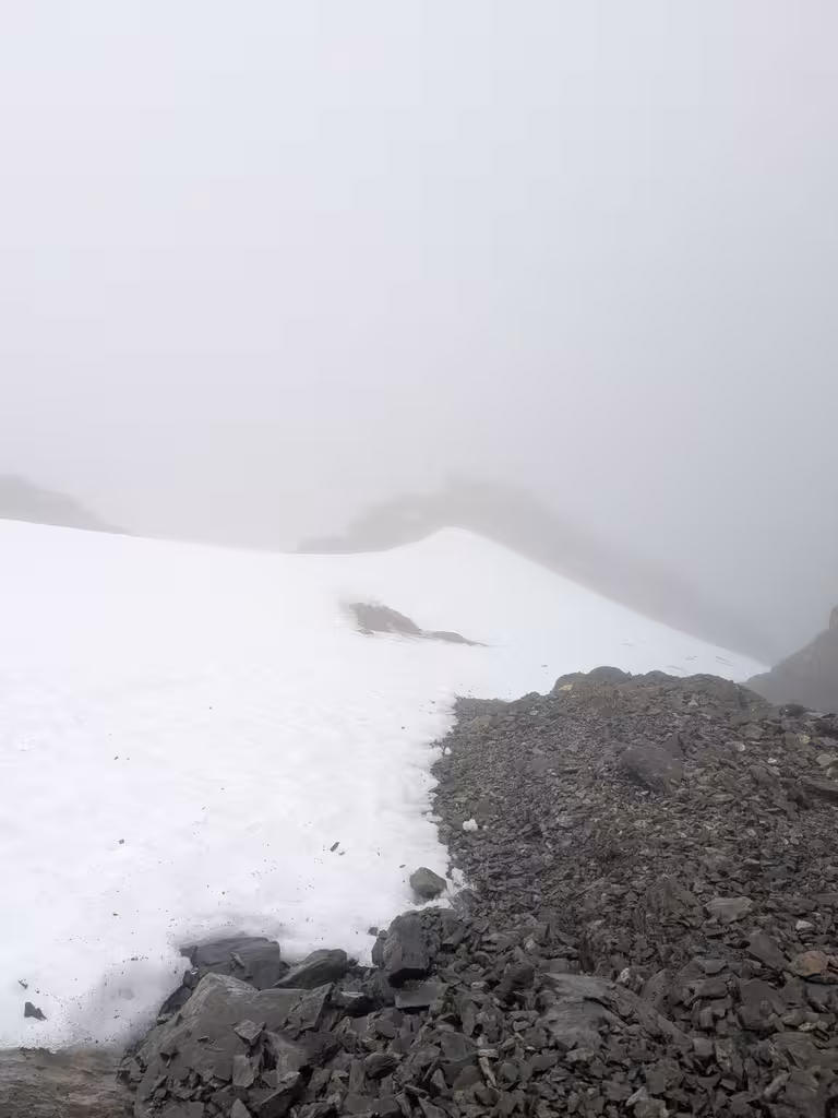
Strangely enough, the terrain to the indicated location was unfamiliar, and I had to cross snow to get there. I think this is an east-facing slope.
This location is 200m from the summit, which seems close, but really not close in this terrain. The other side of the mountain, from Sunset Saddle, had 200m off track walking that was much easier. And Gaia was telling me that I was as close as 1m to the alleged phone location.
I eventually gave up (after way too long navigating to this spot and way too long looking—like 2-3 hours!) and looked closely at the coordinates again. Can you see the discrepancy?
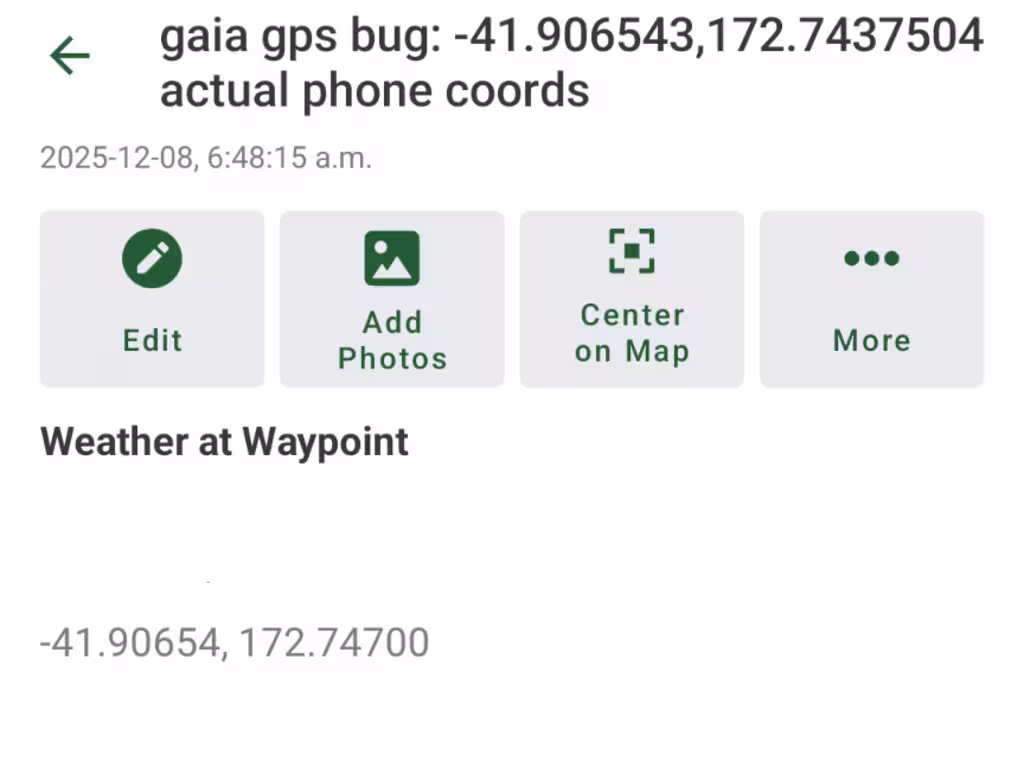
PUBLIC SERVICE ANNOUNCEMENT: if you enter decimal degrees coordinates into Gaia GPS and you enter “too many” decimal digits for its liking, it will mark a spot that is not the spot that you intended.
OK, where were we? Right. Not where the phone was, apparently.
I plugged the coordinates into the Mapy app and it told me a different story, which was far more reasonable: not 200m from the summit but rather only about 20m off from the (sort of indistinct) track. A lot more sensible.
Now I needed to get back to Angelus Hut. I didn’t really feel like backtracking back up to the summit. It was still just 9am, fortunately, and sunset is around 8:45pm. Plenty of time.
At this point, visibility was good, but occasionally it would rain on me. There were 20mm of rain forecast but I don’t think it ever got to that much.
Surely I could descend some other way and maybe even wrap back over to the original track. (That was not at all the case, as it turns out, and if I had looked at the topo more closely, I would have figured that out).
If you inspect the track up there, you can see that there is a false start: there was a gully that looked OK, and one doable downclimbing descent (just a 1m drop or so). It turned out to be more cliffy than I wanted, further down. Back up and into the river gully closest to the phone.
I had gone across that gully earlier, and also looked a bit into the gully where the marked location was. Since I’d gone that way already, I figured I would be able to do it again, and it got me back into the gully without further climbing.
That gully was actually passable, with just a couple of downclimbing moves. I kept on looking for a way back to the Angelus Peak track, but the gully sent me way to the northeast and the track to the west wasn’t getting any closer, with cliffs in the way.
At least a bunch of the descent was scree skiing, which went quickly. The speed profile shows almost zero speed between 3h and 5h (which was the 200m cross-country and time looking for the phone) and then backcountry walking speed (1-2km/h) after that.
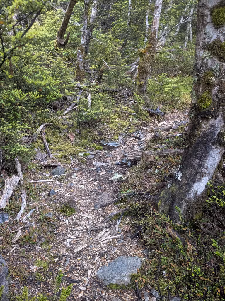
I saw that I would eventually intercept the Cascade Track which would bring me back to Angelus Hut. I did have 20m of forest to cross but having the GPS made it easy to know where the track really was. I expected be able to make good time on the Cascade Track…
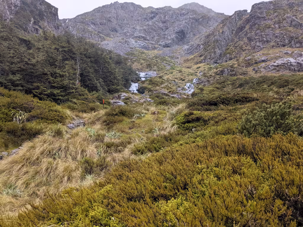
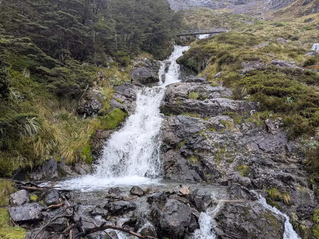
The Cascade Track is highly scenic. There are indeed cascades.
Oh, what do you need to have cascades? Elevation gain!
I was in denial about just how much elevation I was losing down the scree slope. Numbers: the summit was at 2075m, the low point was at 1188m, and the hut was at 1650m. Oof. After the 500m to the summit, I had another 500m to ascend to get back up to Angelus Hut.
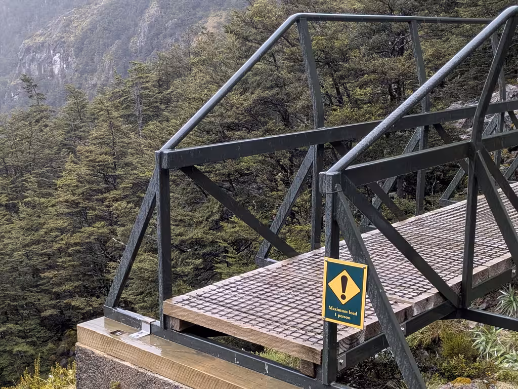
There was also a bridge (1 person max) but it was totally unnecessary and, after I followed the path leading out of the bridge, I eventually got to a point 50m lower, which looked awfully familiar. Turns out I’d done a loop. Bonus elevation gain!
But, all this was just tramping on a track. (Uphill.) Not bush bashing or scrambling.
Day 2 Recap
- Distance: 7.6km
- Elevation gain/loss: +/- 980m
- Time: 8 hours
- Moving time: 5h25
I got back to the hut at 1:30pm, which was 3.5 hours after my intended return time, so my spouse was a bit worried, but the volunteer hut warden wasn’t. I found that there were a couple of spicy moments, but nothing that I thought was too sketchy.
The weather wasn’t great, but fortunately these rocks did not get slippery in the rain, and I could navigate well enough using GPS when necessary. Definitely it would have been hard without GPS and I would have had to give up sooner than I did.
I’m sure I could have retrieved the phone later on day 2, but it would have been a bit awkward to go right out again after coming back so late, with less than perfect visibility.
Side note about who was in Angelus Hut: the first night we were there it felt like there were a lot of not-Kiwis, including Canadians (not us), Americans (who had sailed to NZ), Germans, and French. The second night it was mostly Kiwis, including a group from the Motueka Tramping Club. Both nights there was (the same) father and son from Auckland.
Third try lucky: Angelus Peak, December 9
I had suspected that the overnight rain wouldn’t break the phone, especially in the Otterbox case. My suspicion turned out to be correct, fortunately, though I wouldn’t check it until getting back to the hut. It was out of battery, of course. The Google Find Hub reported the phone was last seen around 11pm on day 1 and could not connect to it to make it ring. I had tried to connect to it with Bluetooth on day 2, but that wouldn’t have worked due to battery exhaustion.
Backing up a bit: on day 3, I had an even earlier start, at 5:06 rather than 5:25. We had a flight to catch (Blenheim, 6pm; and probably 5.5 hours of hiking out). I don’t really get up that early normally, but that was 3 days in a row.
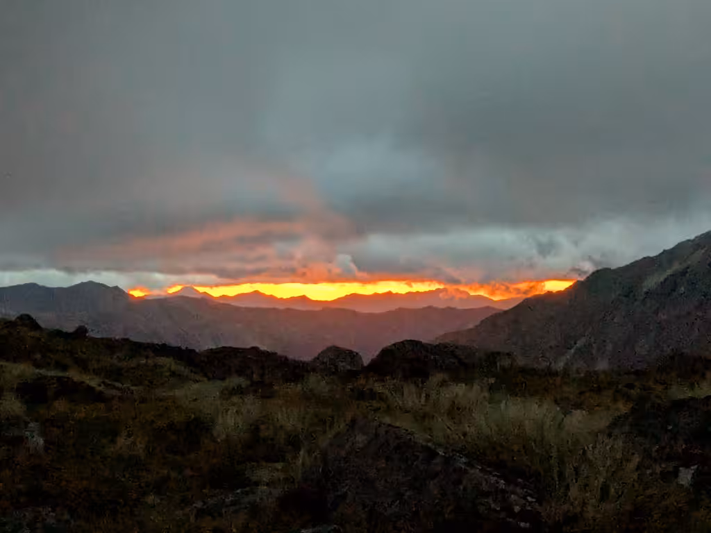
The forecast was for good weather later, but I couldn’t wait for that. The weather certainly wasn’t good at 5am, and the sun wasn’t quite up yet, but the weather was good enough, and by this point I was pretty familiar with the area.
I thought I was pretty slow on the first part of the walk. Also I noticed that the direct route up Angelus was sooner than I thought, so I watched the GPS app quite closely to make sure I wouldn’t miss it (as I had on day 2). It is a lot less obvious than the Sunset Saddle route. But I did get to the summit around 7am, so maybe not so slow.
I am posting a lot of pictures that normally would not meet my quality bar!
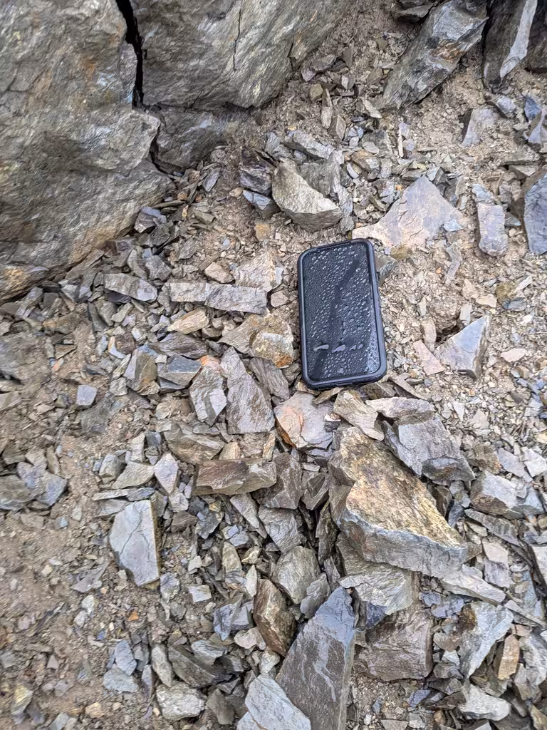
I reached the GPS coordinates I’d written down at 7:00am. It turns out that no mapping app that I have is fine-grained enough to get you right on top of the coordinates, but I downloaded the GPS Status app and made all the digits match. The phone was right there.
Apps that weren’t quite good enough for the final search: Gaia (ha), Mapy, NZ Topo50. I had marked the location in both Mapy and NZ Topo50, so they were helpful in general, but I’m not sure I would have found it without GPS Status. Also, it was encouraging that both Mapy and NZ Topo50 pointed at the same place.
Wrapping up this adventure: tagged the summit again because why not—my phone was about 30 vertical metres from the summit, though off track. Back down to Angelus Hut by 8:29am (so 3h25 to the summit and back), mostly without getting off track.
Breakfast, packed up, and out by 9:30 via the Speargrass Creek Route (much easier than both Cascade and off-track), getting to Blenheim at the appropriate time.

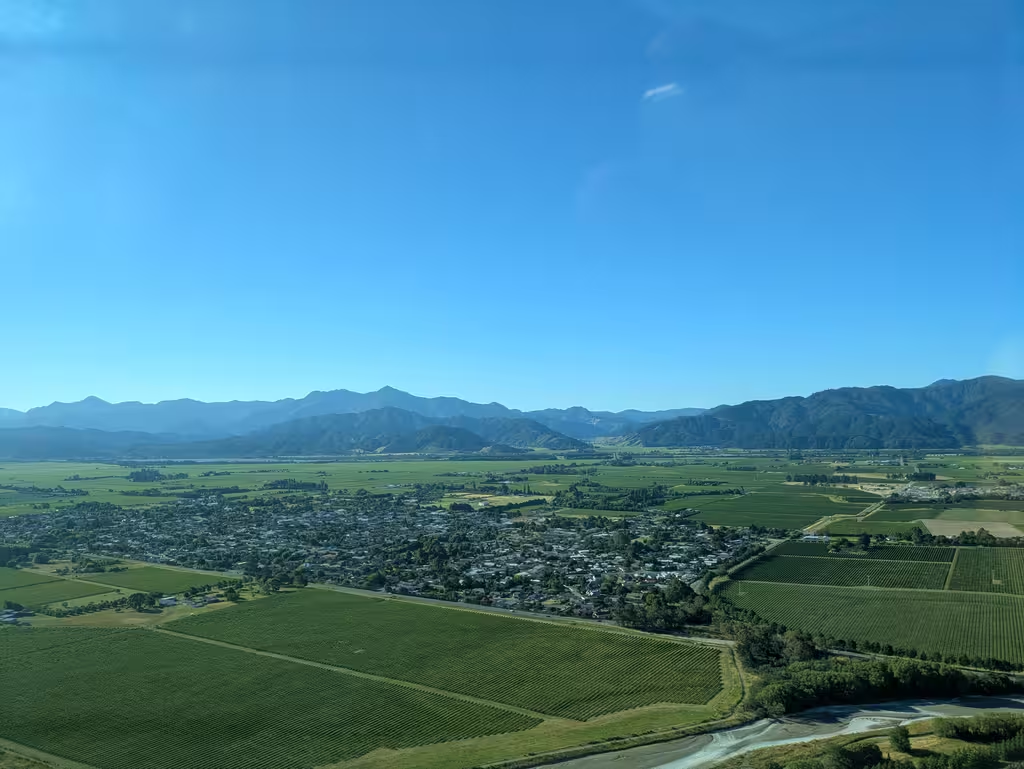
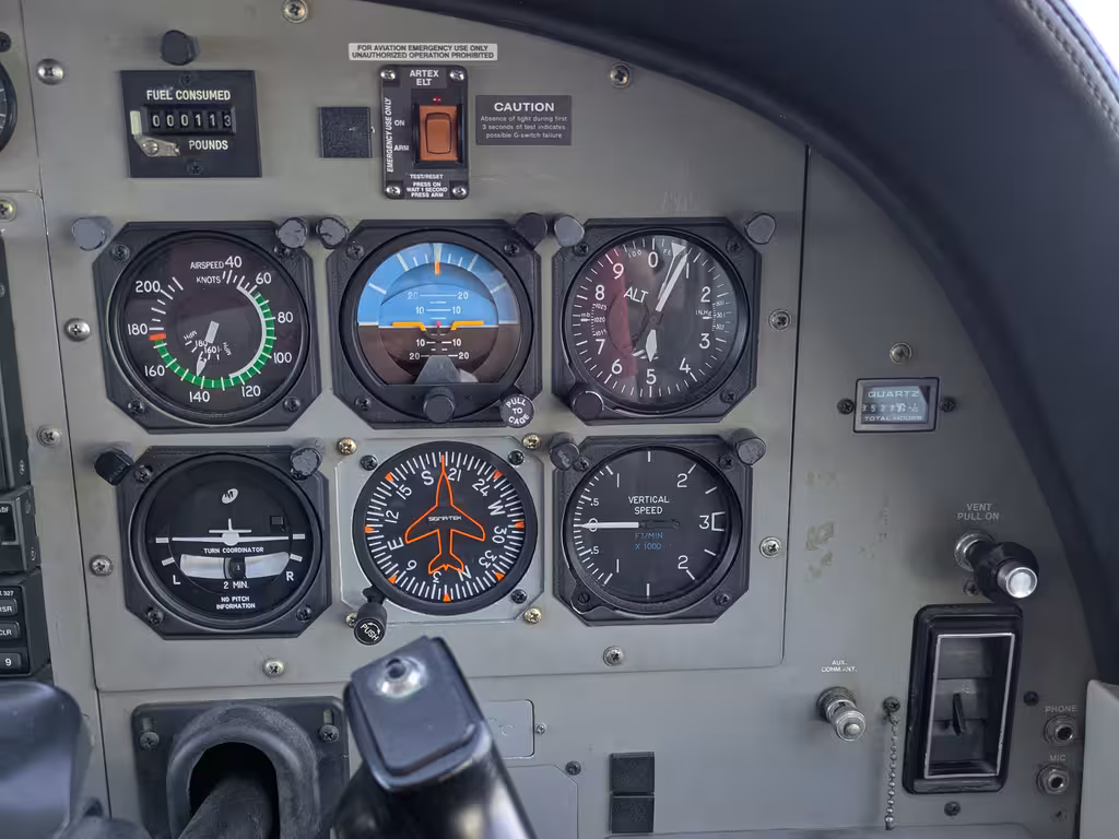
Bonus: when flying in a full Sounds Air Cessna 208 Caravan, the captain has to put a passenger in the right seat.
Learnings
Lots of learnings from this trip.
- Phones fall out of unzipped Aarn pockets.
- Paper and pen are only rarely useful, but when they are, they’re very useful.
- Make sure you enter GPS coordinates in the right format!!
- 200m is far when off-track in rugged terrain.
- Using the GPS Status app you can get right onto reported GPS coordinates; the phone’s reported coordinates are both precise and accurate.
- Following a GPS track in white-out is not that hard.
- Angelus Peak rocks are not slippery in the rain.
Broken things
- Carbon-fiber hiking pole
- Small rip in poofy jacket (not really a shell layer)
- Chip in rental car windscreen; also it was missing a rear wiper blade.
I did not, however, lose a phone.